Lining Up Mystara XVI
Hollow World Set Maps Revisited II
Last time we looked at the Outer World’s maps from this set. This time, let’s delve into the seemingly far less problematic Hollow World maps.
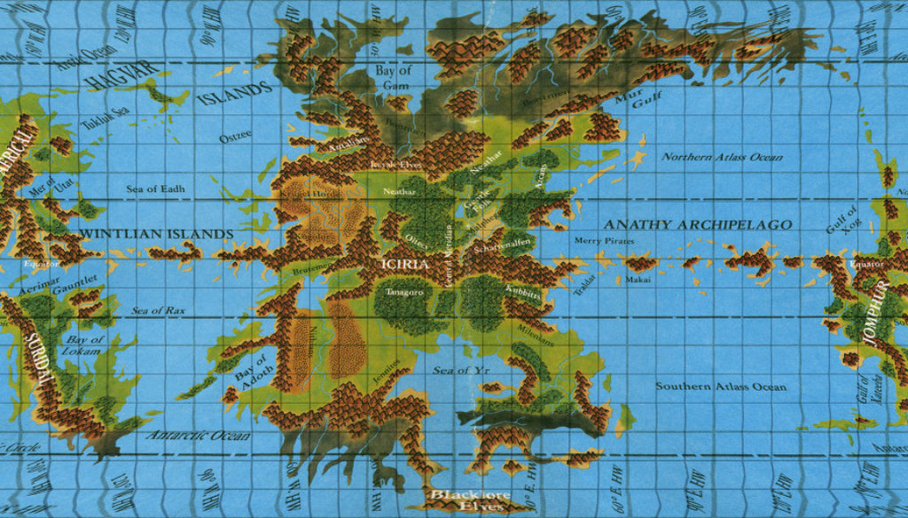
Hollow World Set Hollow World map
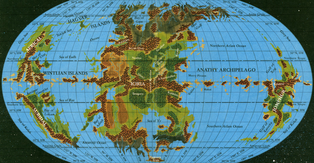
I’ll skip to the good part — above is the image with graticule lines added, ready for georeferencing. 703 control points later…
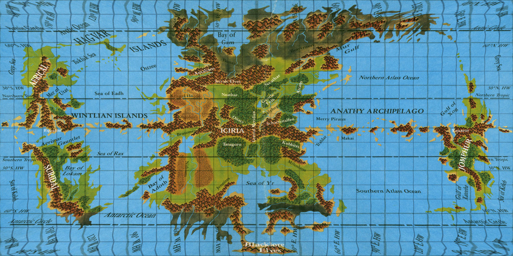
This map was a revelation when I first posted it back in 2009.
However, I now believe there are some problems with this interpretation.
To understand this, we need to delve into the Hollow World’s hex maps — something we have yet to tackle on this project.
Assembling the Hollow World
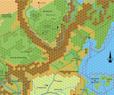
The main bulk of the Hollow World’s hex crawl was presented in two poster maps in the Hollow World Set: Northern and Southern Iciria, at 40 miles per hex. These fit together quite unambiguously, although there’s a small area of conflict around the Traldar Kingdoms, where generally the Southern Iciria map looks better. This can be confirmed with maps of Traldar in the Poor Wizard’s Almanac series. I took the coastlines from this third source, as they seem the most interesting, as well as being in general a compromise between the northern and southern maps.
The result of this is my updated Iciria map, which I released back in 2005. It’s just as valid eleven years later, so I’ll start with that.
Next, there are four 8 mile per hex maps to place on this map: Azca, Milenia, and two Nithian maps. These also place quite easily. Since there are five 8 mile hexes to each single 40 mile hex (in height, at least), there are multiple possible locations, but I’m happy I’ve found the best fits for all of these. Here’s the result:
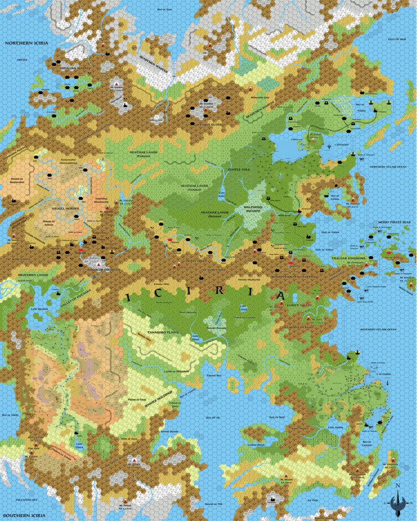
There is one more official hex map to place: Shahjapur from HWA3. But before we can do that, we have to try to reconcile the hex maps with the world map.
Reconciling the Hollow World map
The 8 mile per hex maps are solidly based on the Iciria 40 mile per hex map. But what about Iciria’s map? How well does it combine with the world map? Unlike the Outer World, these maps were all produced at the same time, for the same single set. So we can expect them to line up a bit more easily.
In general, they do. But there are some caveats. First, the Iciria map is clearly based on the poster map, which means that unlike the Outer World hex maps, all of the Hollow World hex maps are based on the pseudo-Robinson projection. This in itself isn’t really a problem, except that it’s important to realise that we’re dealing with different projections with the outer and inner world hex maps. They are very different beasts. The most obvious example of this is that north and south are almost never straight up or down on the Hollow World maps.
Second, for some reason the Iciria map doesn’t fit over the world map as printed. Instead, the world map has to be stretched slightly horizontally in order to get a good fit. This is rather puzzling, and I’m not at all sure of the ramifications.
Take a look:
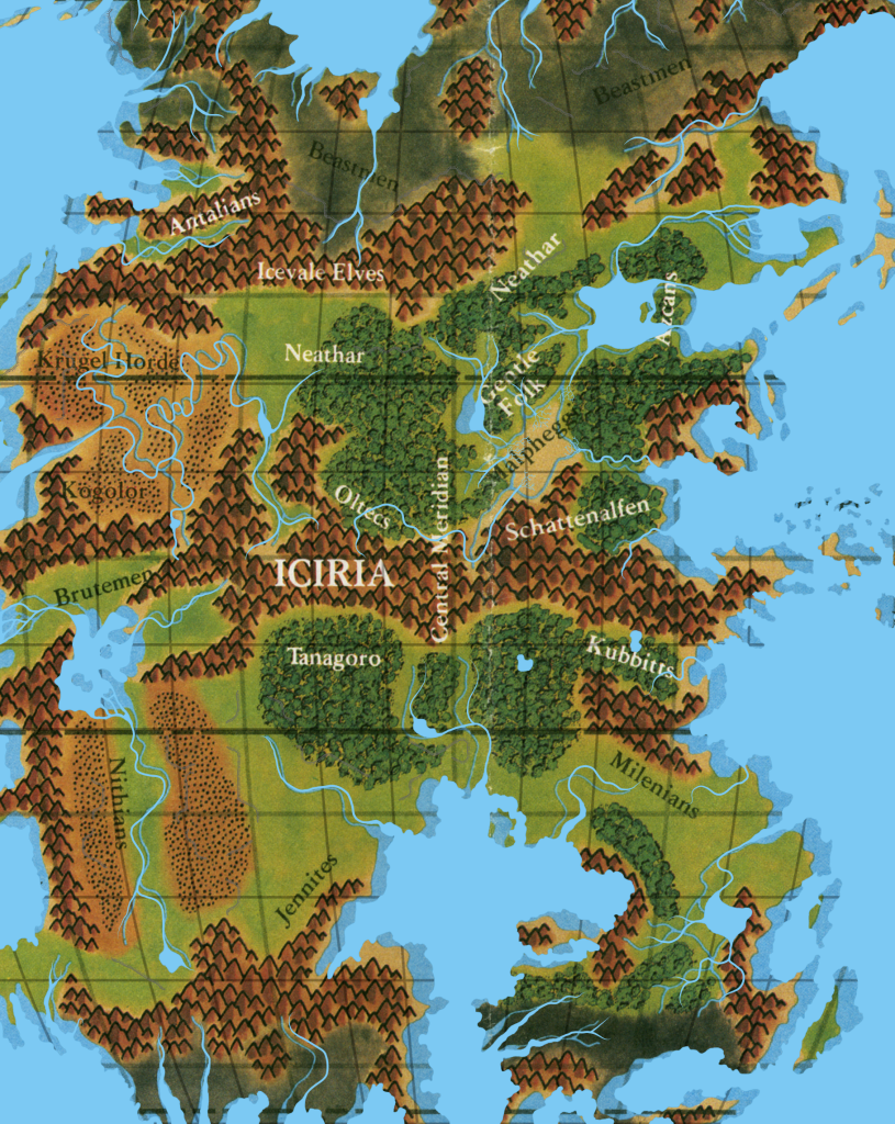
The coastlines from the hex map align nicely in the vertical dimension, but horizontally the land has clearly been stretched for the hex maps.
The policy of this project is to give precedence to hex maps, so let’s stretch the world map to fit this. It’s not a large stretch: the horizontal is scaled 103.5% compared to the vertical.
Another problem is that the fit of the map is rather wonky, with different placements needed to get the fit right in different sectors of the map. Luckily, most of Iciria is shown on the hex map, so my proposal here is simply to use the world map to add the missing extrusions to the hex map, using multiple placements of the map as necessary. There will be no effect on the other landmasses of the Hollow World.
However, it’s obviously necessary to choose a single placement of the central meridian and the equator over the hex map. I already chose this years ago, and there doesn’t seem to be any need to change it now.
Finally, let’s place Shahjapur. It’s not a wonderful fit, as it changed the shape of its island a fair bit, but that doesn’t really matter.
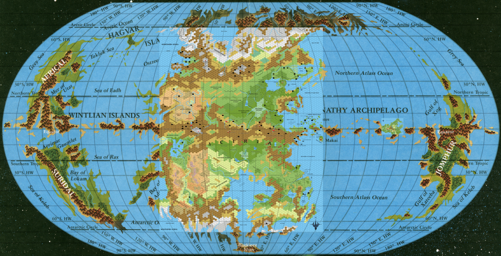
This is about as perfect as it’s going to get in terms of lining up the Hollow World maps together.
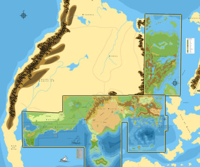
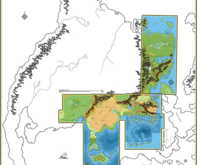
Now we have a conundrum… What to do about the projection? Time for more control points and georegistering… The following is a bit of a rough version — I may well redo this for more accuracy later.
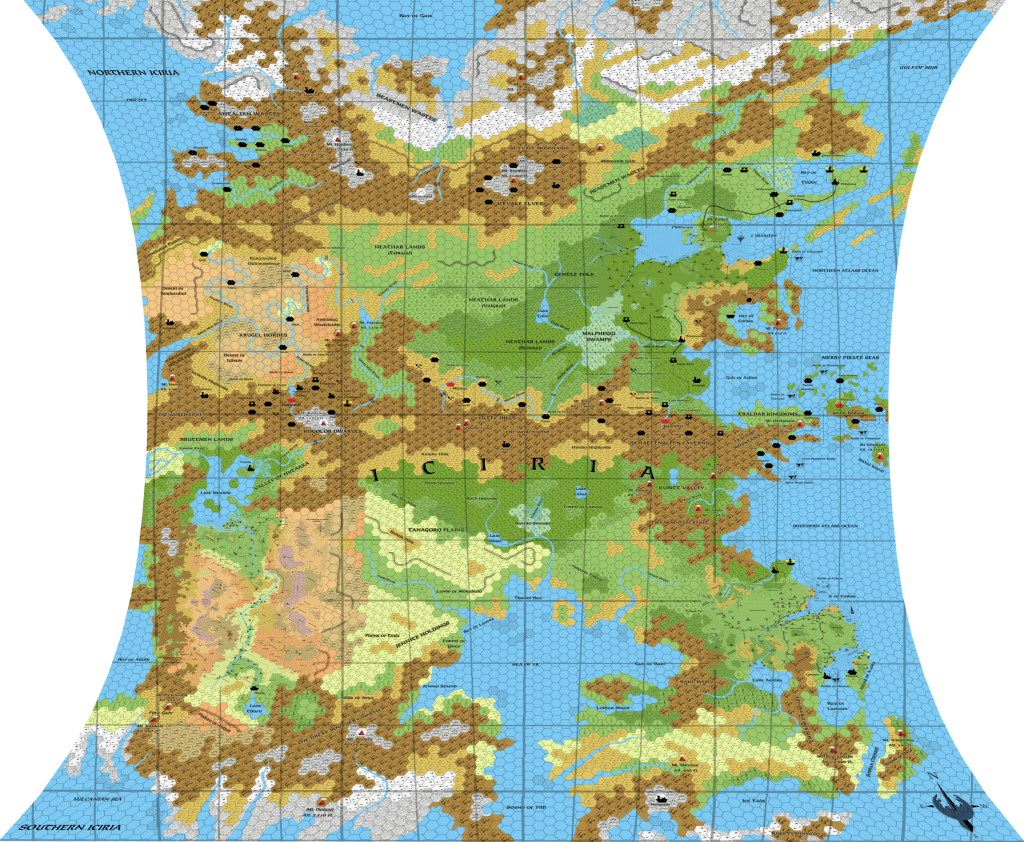
Look closely and you can see the 8 mile per hex maps. Here they are in close-up:
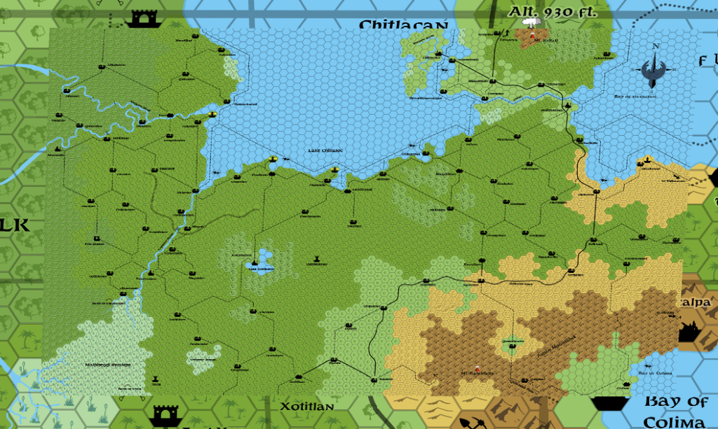
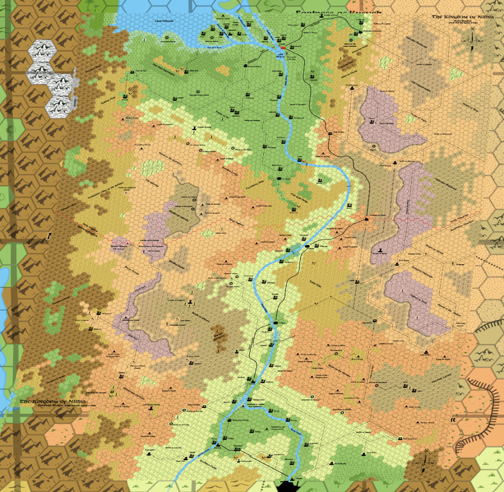
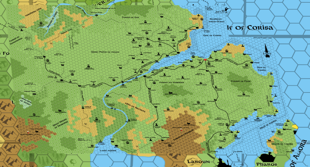
It’s interesting to see these in this projection, but remember that these are still not the “actual shapes” of the land — for that, we would need a conformal projection.
Up Next:
