Lining Up Mystara XVIII
Now that we have both the Outer World and the Hollow World close to being locked in, it’s time to go back to the 3D model and explore the results of our labours.
But first, let’s take care of a couple of loose ends.
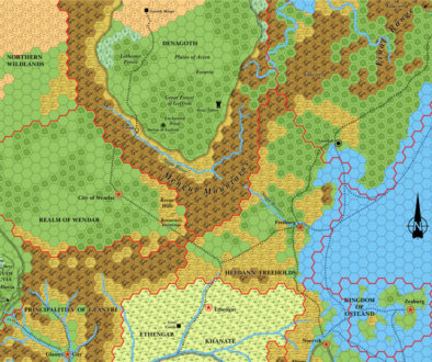
Companion Set Brun map
The Companion Set included a continental map of Brun before the Master Set presented the whole world. It’s significant for two reasons: it presents a more detailed coastline for the continent, and it adds a few small details that we can use.
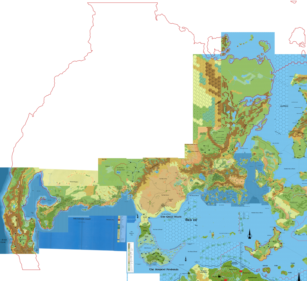
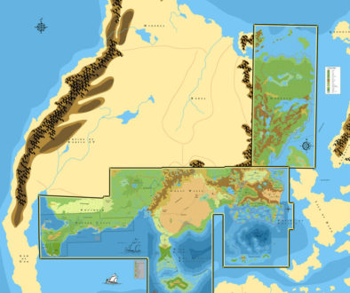
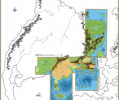
I have adapted the coastline to my Outer World model by using three different placements: one for northwestern Brun, from top of the Arm of the Immortals all the way over to close to Frosthaven; one for the Arm of the Immortals itself; and finally one for Norwold that extends down to Kamminer Bay. This last one showed part of the Orol Island archipelago, with more detail than the Master Set, so I have decided to change my base reference for these islands from Skothar to Norwold, with the Companion Set map deciding the location for the islands:
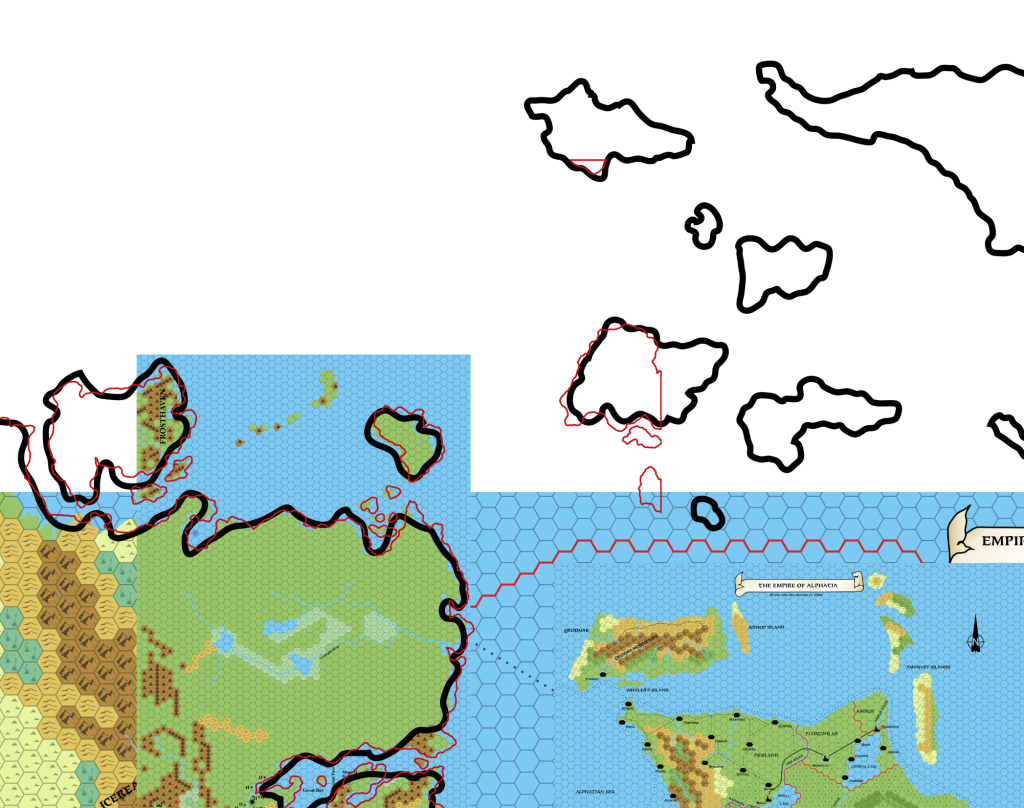
The other details are in Ochalea, which showed a small island off its southwestern coast, and the two small islands between Dwair and Davania:
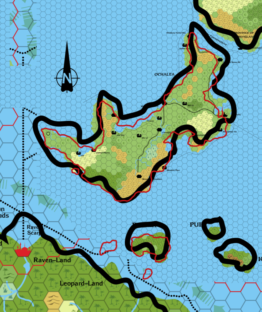
All of these have now been locked in, to be incorporated into future maps.
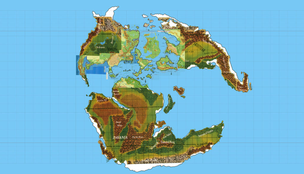
Hollow World Set Outer World map
Next up, let’s put the Hollow World Set world map into place. The fit is not perfect, but it’s more than enough to act as a nice guide to expand the world map’s locations:
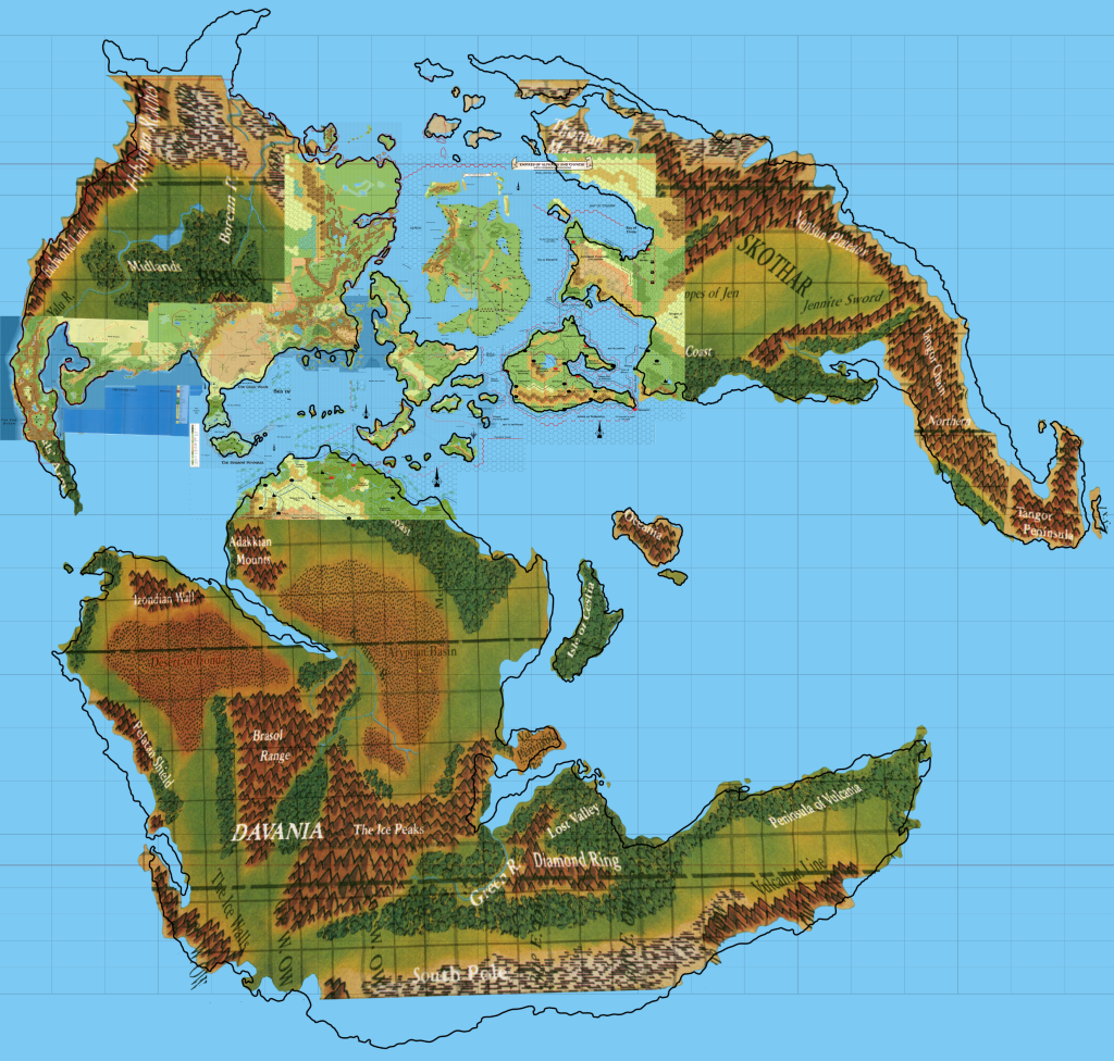
Looking good.
And that’s us done! There are very few sources left to add to either this or the Hollow World map. That means that all we have left to do is decide which placement to use, create a 3D model for it, and take it for a test drive. Once that’s done to our satisfaction, the Lining Up Mystara project will officially be over! So close now…
Looking Ahead for a Moment
A word on secondary sources (i.e. fan-made maps): these will come into play in full force during my next project, when I come to deal with all of the stuff this project has generated, and expand the maps to cover the whole world. My ideas have changed over the years somewhat, and my current feeling is that it’s better to adapt (or even adopt) fan-made maps than for me to come up with yet another version of something. Let’s face it, whatever we do it will never be the “official” version, because there was, is and will likely never be an “official” version of these things.
Besides, who cares? This has never been a big issue in our community, and it has been fading more and more into the background, I think.
So my current plan is to make up terrain based on my above collage where there is nothing else to refer to, and to adapt fan-made maps where they exist — and simply adopt them wholesale if they fit into the above map nicely. There will undoubtedly be some exceptions, and I’ll likely avoid using some maps if I already have my own strong ideas about an area, but in general I’ll try to choose the most accepted sources and work from them.
One last thing about this: I hadn’t planned to do the world map in 72 miles per hex, but looking at the sheer size of this map, I’m now reconsidering this. Would you like to see me do a full world map for the Outer World at 72 miles per hex? If I do it, it won’t be an Equirectangular projection, but rather something much more appropriate for hexes — likely either an equal area projection of some sort (to keep the areas of each hex constant) or else a conformal projection (to keep the shapes — but not the relative scales — of terrain constant).
I can’t talk timescales yet. Once Lining Up Mystara is all wrapped up, I have a number of other projects waiting in the wings, including of course Bruce Heard’s upcoming Calidar book. So all I can say for now is that I hope to start the next project sometime later in the year.
Up Next: Placing the finished maps on the 3D model. Will Placement 5 do the job? You’ll have to wait and see!
27 February 2016 @ 1:04 am
There is light at the end of the tunnel! 🙂
28 February 2016 @ 7:20 pm
Great work, again! 🙂
Regarding future maps you might want to create of the undeveloped areas of Mystara (I mean those outside both canon and fan works – like parts of Davania or most of Skothar), the best choice would perhaps be leaving those regions in the 72-mph scale in order to leave as much room as possible for future, dedicated developments – unless you want to develop them by yourself in the process of compiling the maps.
It’d be better, in my opinion, to sketch their geographical features without going too much into detail; with these maps we will then have a common basis to develop these regions, which will make the various fan works dedicated to them at least geographically consistent with one another.
Regarding fanworks, I cannot but agree with your choice to use them as much as possible, adapting them to the results of your model. Again, geography and terrain type should be the first concern of these maps, with political boundaries coming later (since some fan works have conflicting ideas about what is to be found in a given region).
Just a final note, regarding the terrain features of the areas of Borea which lays north of Denagoth and the Northern Wildlands and west of the Icereach Range. I see you have used exclusively the 72-mph map of DotE for this inland region, but the 48-mph map from WotI seems to have a more accurate (and updated) terrain description for it – introducing badlands, swamps, and forested hills. Maybe it could be used as an additional source ONLY for that area.