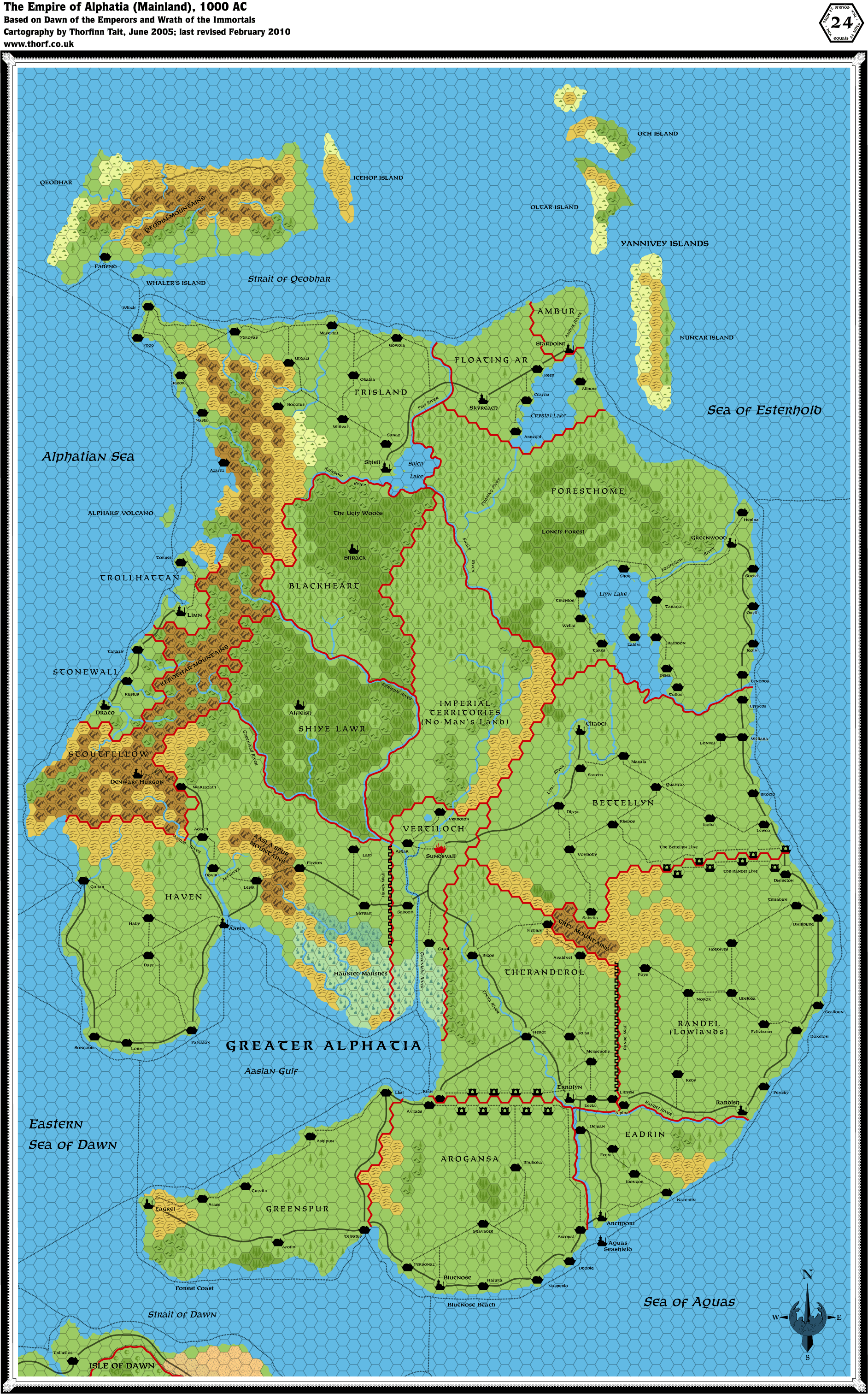
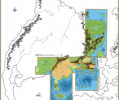
Alphatia, 24 miles per hex
This map merges the poster maps from Dawn of the Emperors (adding the edge of the Isle of Dawn, missing from the original Alphatia poster) with evergreen/deciduous forest info from Wrath of the Immortals, with some conversions of Bruce Heard’s excellent 8 mile per hex Alphatia maps in there too. I haven’t even scratched the surface of this last category, but other than the coastlines and tiny islands, I’m not really sure I want to anyway. Maps of this scale are supposed to be general and vague, after all.
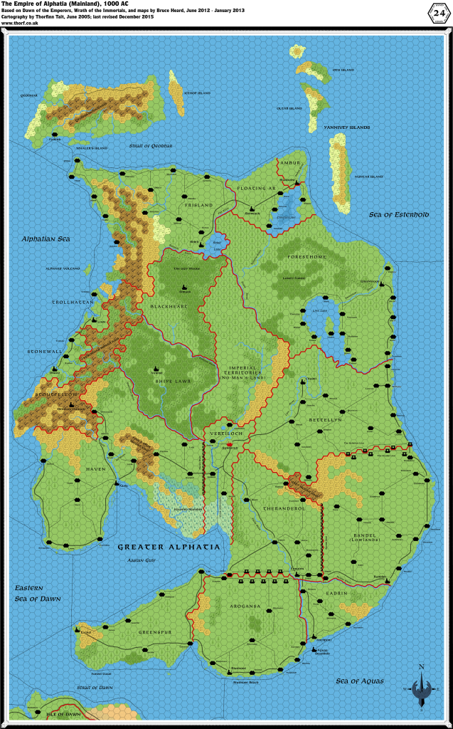
You can get the full high resolution file over at the page for this map at the Atlas of Mystara wiki. That’s where you can get all the most recent versions of my maps, for that matter. If you haven’t seen it yet, please check it out!
Thibault’s Alphatia, 24 miles / hex v1 | Atlas of Mystara
2 August 2021 @ 9:08 pm
[…] published in 1999 and 2000. The updated Atlas version of this map is currently available over at Thorfinn Tait Cartography. See also Appendix C for annual chronological snapshots of the area. For the full context of […]