Perspective in Topographical Maps
You may already know that my Calidar maps are created from a 3D terrain model (Digital Elevation Model) that I sculpted back in 2013-2014.
Well, since then I have been wrestling with how to use this to its best effect. The main problem I’ve had is that I always thought that using a perspective would require the map to be tilted at an angle, thereby giving depth, but also turning a flat rectangle into more of a trapezoid — getting smaller as it stretches into the distance.
This looks great, and Bruce has used some of these 3D renders for blog posts in the past. The trouble, though, is that it’s not really a map any more: the scale at the top of the image (at the back of the tilted terrain) will unavoidably be much smaller than the terrain at the bottom (front).
Or so I thought.
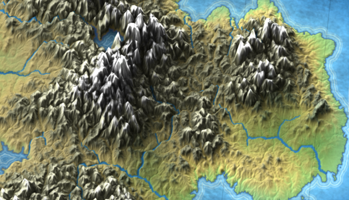
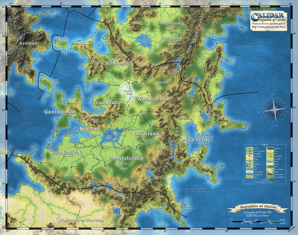
Today while setting up last week’s Osriel map as a 3D terrain, I had somewhat of an epiphany: couldn’t the 3D render be stretched back into the shape of the original map, and yet retain some of the perspective?
It turns out the answer is yes!
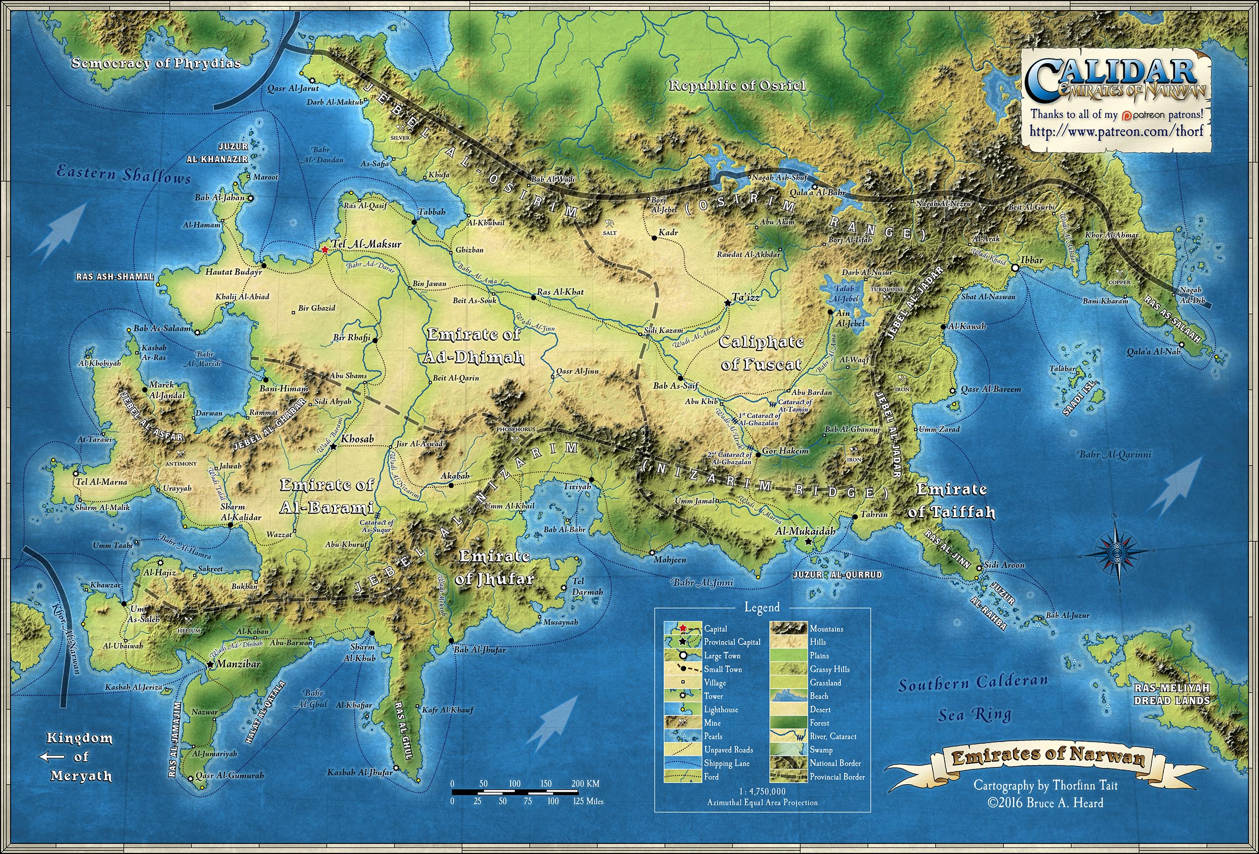
Now I’m not saying that this should replace the top-down format. You can see why, even in this small preview: the perspective mountains hide lakes and rivers in their midst completely, and the exact locations of the mountains become a bit vague and undefined.
But at the same time, my main worry has evaporated, because the close match in terrain means that this remains very much a map, with as constant a scale as you get with a regular map.
This could be a really fun variation, and I think I’ll put it into practice for thematic maps from now on.
I forgot to mention the one downside to this: it took about 5 hours to render the terrain for the full Osriel map. So I won’t be using this technique when I’m in a hurry!
What do you think? Do you like the perspective mountains in the preview above?
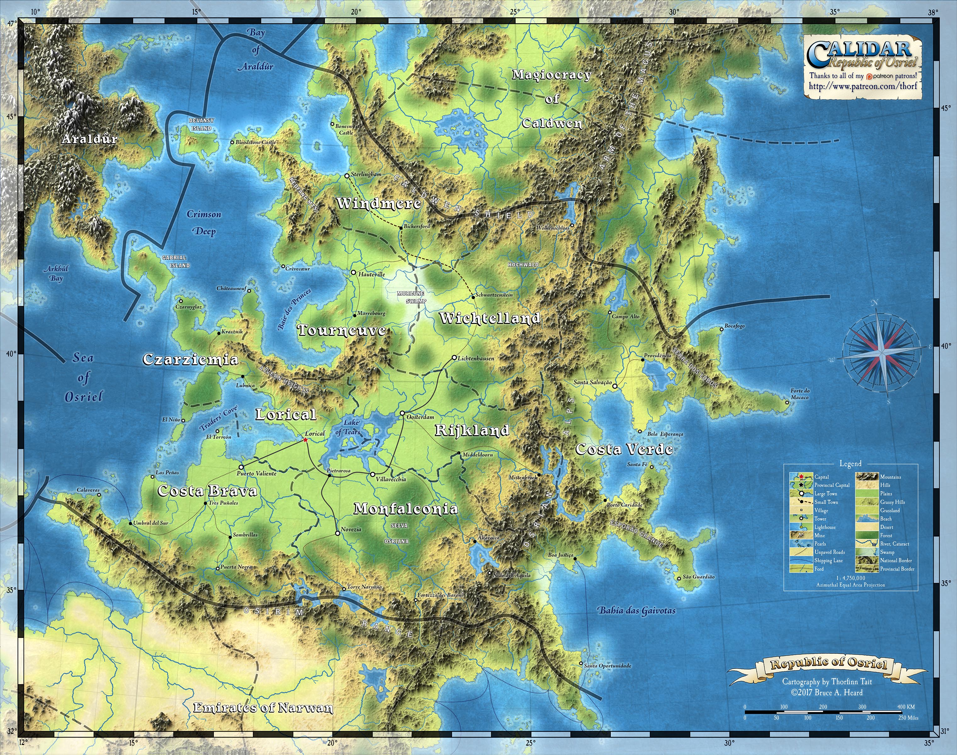
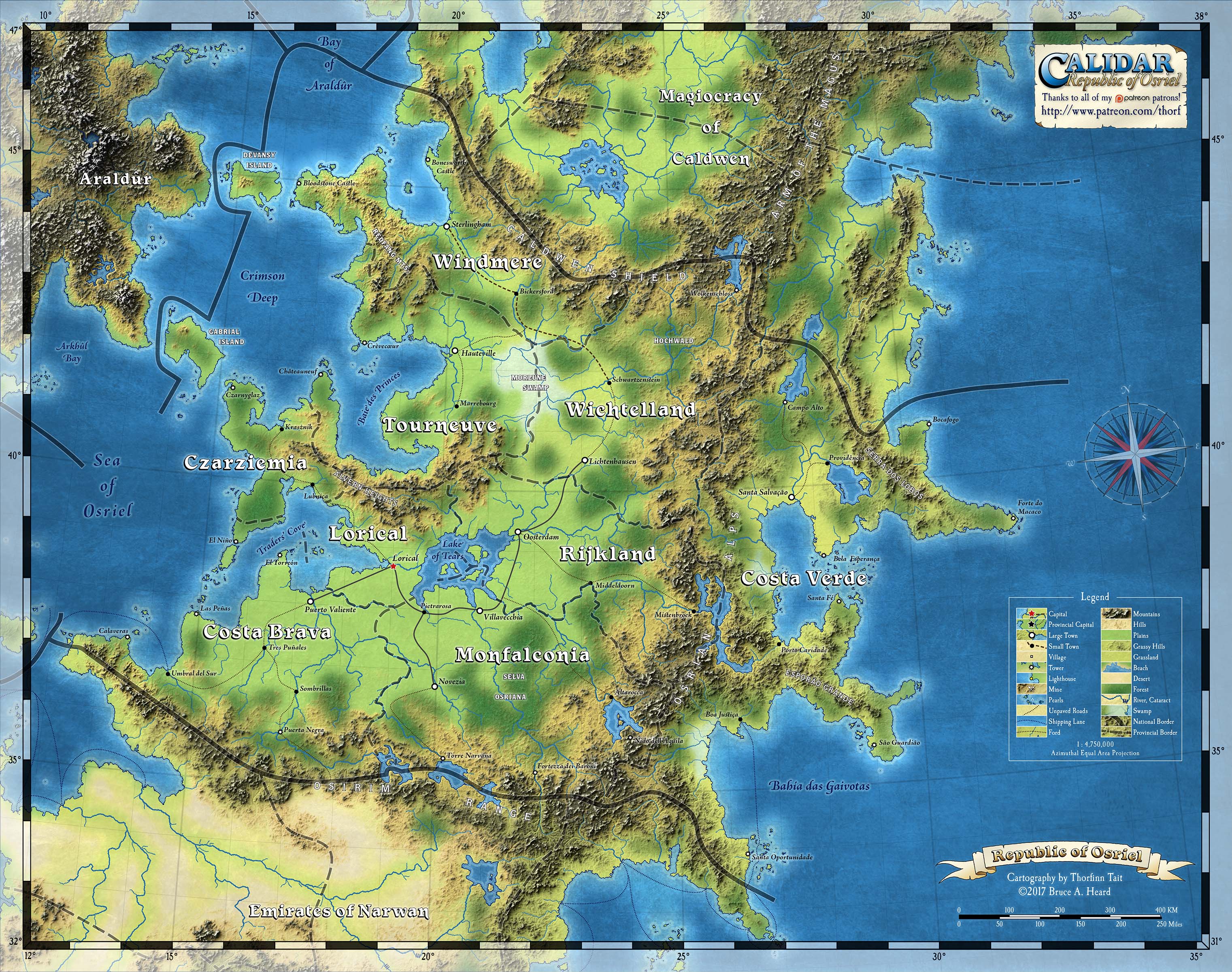
Edit: Here are the full maps in both formats for you to check out. Click for the full size maps.
- Topographic Map of the Republic of Osriel with Perspective effect
- Topographic Map of the Republic of Osriel, Great Caldera, Calidar. This map was created with the support of Patreon patrons.
