Let’s get started…
Overview
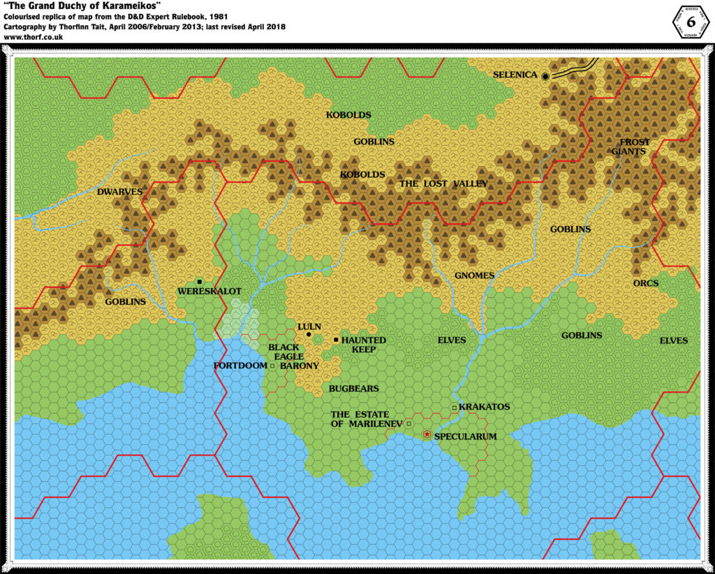
In this project, we’re going to start from the very beginning and work through Mystara’s entire canon of official maps, in the order they were published. We will examine each map and its associated text in the context of its time, extracting details from the text to add to the map wherever possible. Then we will incorporate all of this into our body of maps, building a picture of the world as it existed in that snapshot of time. As we add more and more maps, we will watch its gradual expansion and evolution, eventually resulting in a complete journey from its beginnings in the 70s and 80s right up until the end of its official line in the late 90s… and perhaps even beyond.
Principles
Since this is the very beginning of the project, I’d like to lay out some ground rules for us to follow, to define the process and keep us on track.
- The Time Directive: The nature of the project dictates that we limit our considerations to things published up until the point of time we have reached in our journey. So let’s try not to refer to “future” maps and texts.
- The Hindsight Directive: Except, that is, where arbitrary decisions must be made. In these cases, it’s worth checking what the official decision was, even if it happened far in the future. This is to prevent needlessly introducing incompatibility when it can be avoided.
- Stay Positive: Let’s keep things positive as much as possible, and avoid making value judgements. This isn’t about what the “best” Mystara is; it’s about looking at how the world’s myriad designers conceived it at each point in time. It’s all about looking at change, not about evaluating the relative worth of that change. Everyone has their own favourite time period, so let’s treat them all with respect.
- Document Sources: It’s crucial that we keep track of which map element came from where as we move forward. I will do most of this by tagging things in each map’s GIS database. If you find something to add to the map, please try to provide the page reference.
I may well add to these principles later on.
How will this work? And what can I do to help?
This is a question that has come up often wherever I’ve posted about this project. So let’s deal with it right up front.
As each map is posted, I will open the floor to research things to add to the map. The main source will be the text associated with that map, but anything introduced previously is also always open for discussion.
If you want to chip in, just get out the book in question and start reading — or more likely, start scanning. The object is to find things to add to the map. I can do this myself, but it will be faster (and more fun) if we crowdsource the research.
Things that we can add to the map include:
- Terrain and terrain labels (mountains, rivers, beaches, bays, valleys, hills, etc. and their names)
- Settlements and their names (cities, towns, villages, castles, forts, towers, etc.)
- Ruins, landmarks, and other points of interest
- Geopolitical information (population figures and other demographics, names of important NPCs, and anything else that can be tied to a geographical location)
Things to look out for:
- Changes of spelling between map and text, and from map to map
- Things in the text that are absent from the map, or vice versa
- Capitalised words in the text (which are often names that can be added to the map)
That’s about it. How much we want to add before moving on to the next map is entirely up to how much research we want to do.
So let’s get started!
Great! Here we go…
