Let’s Map Mystara!
How about this for an idea…
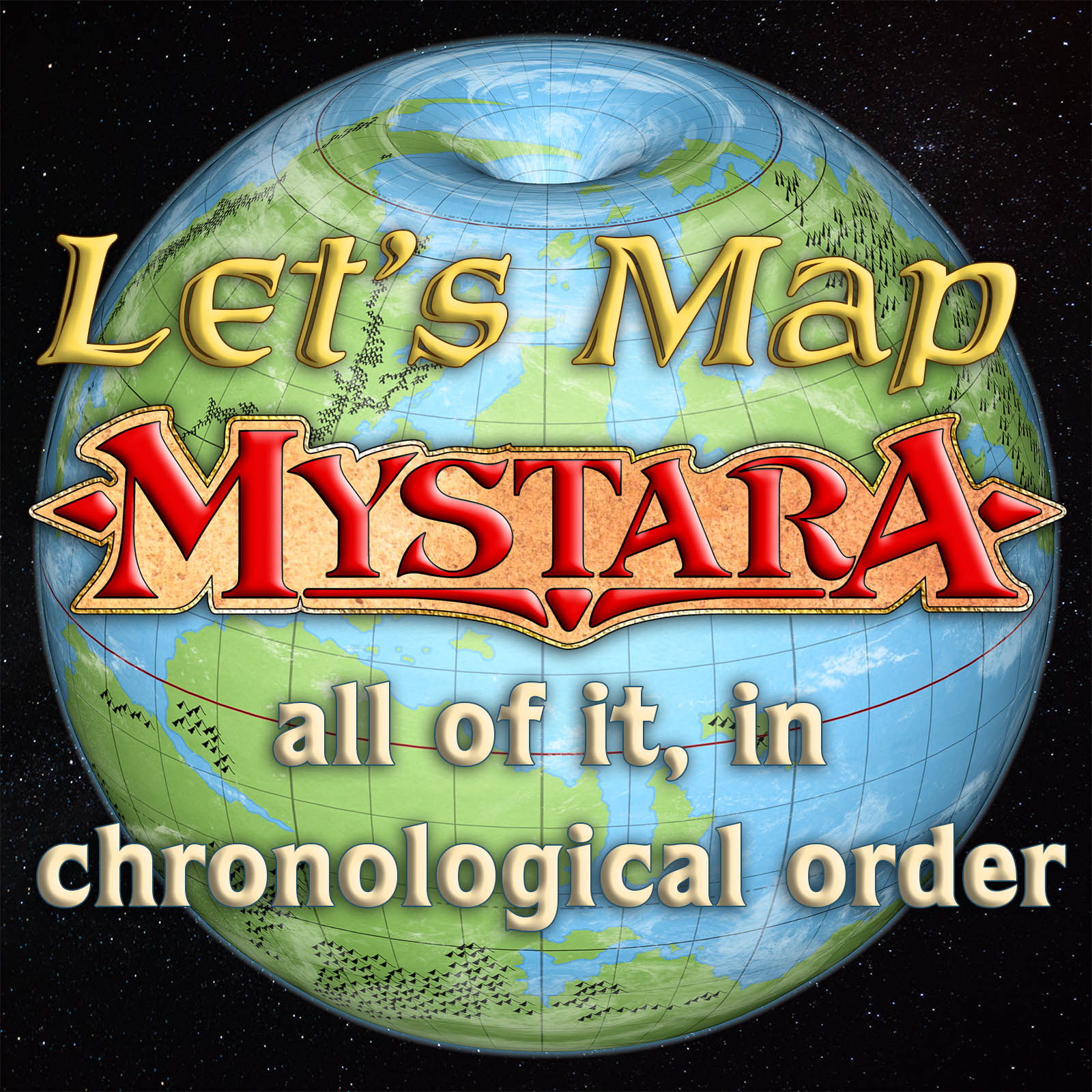
Writing the commentary for all these old maps I’ve been re-releasing lately has crystallised something I’ve been wanting to do for quite a while now.
Why don’t we do a “Let’s Map Mystara”?
I’m sure you’ve heard of “Let’s Read” — a Mystara-themed one over at RPG.net has been on the go since 2014. The idea there was to read everything Mystara, in chronological order. Of course this was a massive undertaking, and it’s still not quite finished even now, almost four years later.
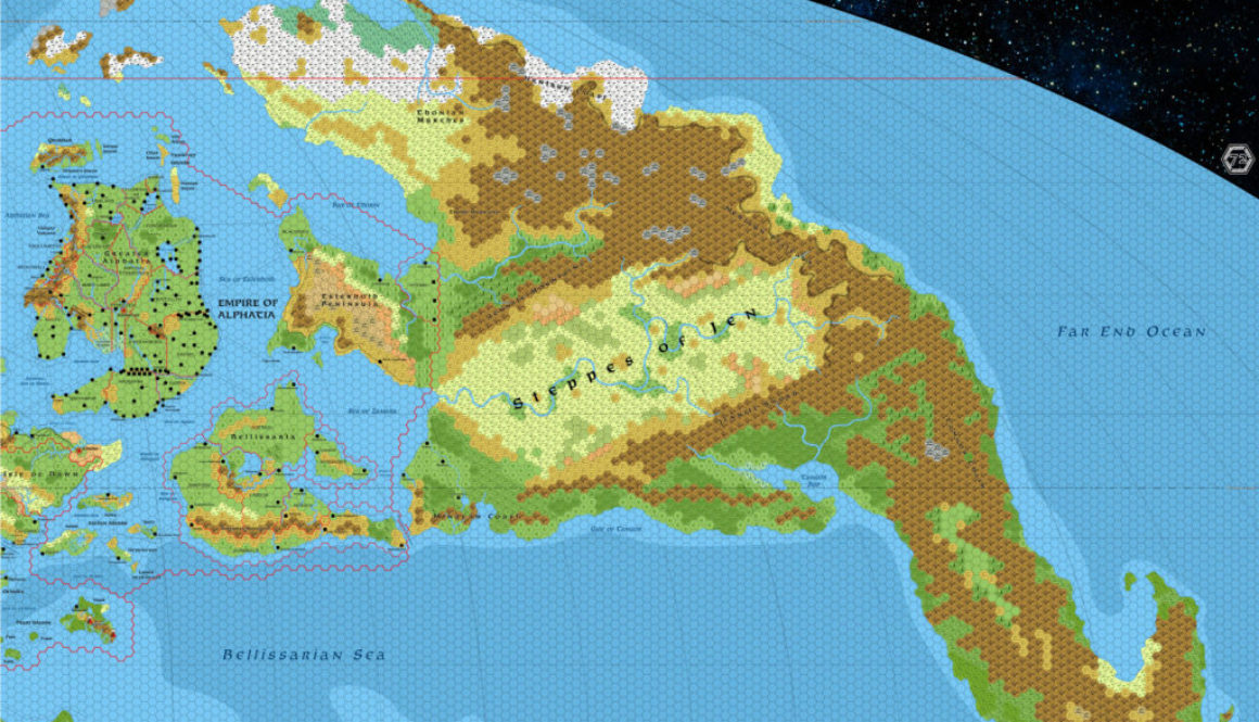
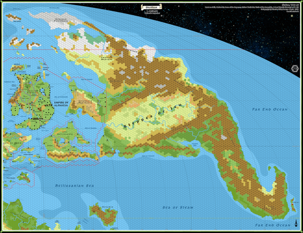
What I’m proposing is to do a “Let’s Map”, where we start at the very beginning, with the 1981 X1 map, and slowly work through the whole published canon in chronological order, gradually adding each new thing to the body of maps as we go. Not only would we get a very clear view of how Mystara evolved through its publication, but we would also of course build up the complete body of maps in the process.
Of course, I’ve already done this in numerous areas, and I’ve already reproduced the vast majority of these maps. So there would be some repetition, but most of the legwork is already done.
Moreover, this is something I’ve always had planned for the Atlas of Mystara — it’s in my earliest plans, and I made reference to it in my project announcement and overview back in 2008. At that stage I envisioned an article on “The History of Mystara’s Maps”, but it’s so wide-ranging that I’ve never worked out how to present it — until now.
So what does this involve?
Here’s how this will work:
- First, I post a replica of a Mystara map.
- Next, this is where you come in: we all raid the relevant text for details to add to the map.
- I add the map and all the info we have come up with to our master maps.
- Rinse and repeat.
Details to add to the map include the obvious stuff such as settlements, landmarks, and terrain labels, but also less obvious things, such as those implied but not explicitly spelled out, as well as geographic and/or geopolitical data that can be added to the map’s GIS database: population figures, important NPCs — anything that can be linked to a geographical location.
You may be wondering how this data will be used in the map. The answer ties directly into another part of the Atlas project, also long planned but not yet publicly released: a Mystara web map.
As the project progresses, we will build a series of master maps, one for each scale level, splitting them again when they become too unwieldy to work with. At the same time, we will be building a web map.
