2018 Mystara Project Updates
It’s high time for an update on the state of my Mystara projects, don’t you think?
Lining Up Mystara
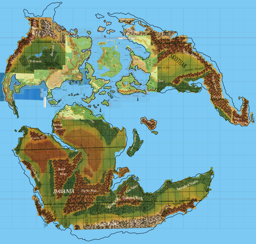
I have begun work on codifying my Lining Up Mystara project. After finishing it almost two years ago, I haven’t had time to work on it much more, which I regret. So I have laid aside a little time to work on it this month, and hopefully at least get some of the results published.
The aim of this project was always to create a finished set of world maps for Mystara, resolving all of the major issues Mystara’s cartographers have been dealing with for the past thirty years or so. I sought community consensus on most issues, and the result may not please everyone — especially in the small details. Obviously, there’s no reason why everyone has to use my maps, and I would never presume to even ask you to do so.
That said, however, working within a cohesive framework of maps would come with terrific benefits: increased compatibility between each other’s maps, easy development of old and new areas, and of course being part of a full set of world maps — with georeferencing, and which can be placed on the globe.
But none of this is possible until I publish the base maps from my project. This is what I’d like to do this month.
So where are we at?
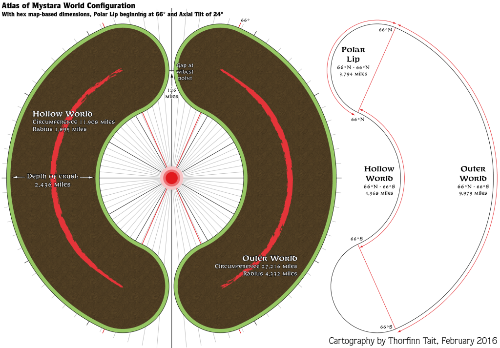
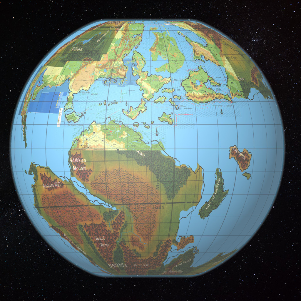
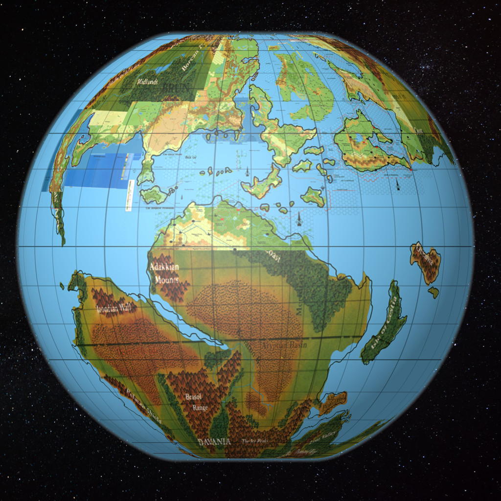
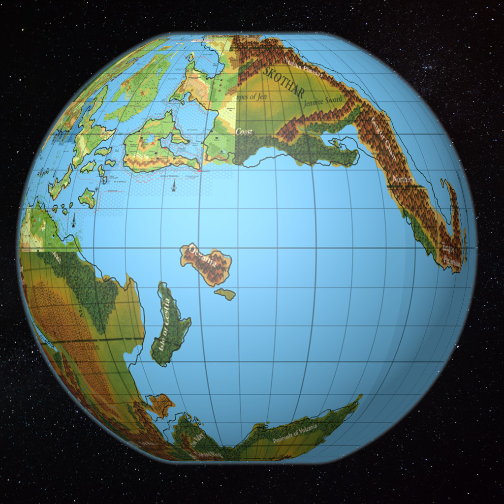
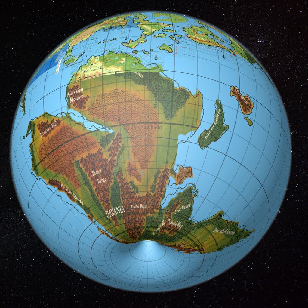
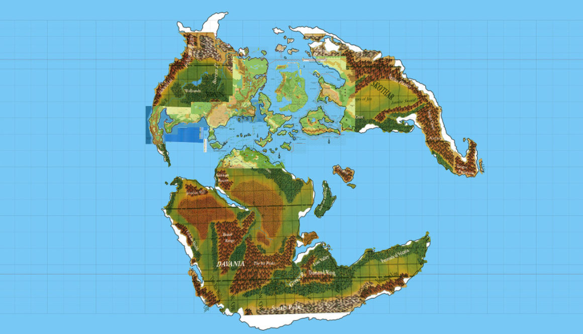
I have now completed georeferencing on both the Outer and the Hollow World. What this means is that I have a master map for each world, with latitude and longitude coordinates locked in. Using Photoshop and a plugin called Geographic Imager (or indeed Illustrator with MAPublisher), I can begin to georeference other maps, sharing assets (coastlines, rivers, etc.) between then and generally making expanding things a bit easier.
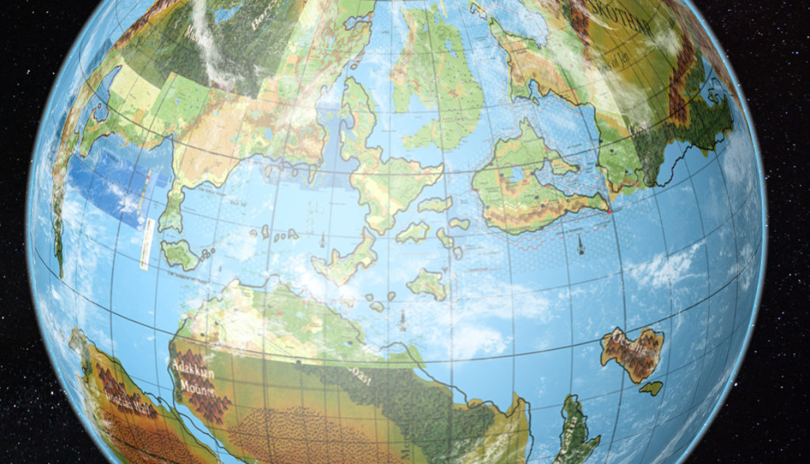
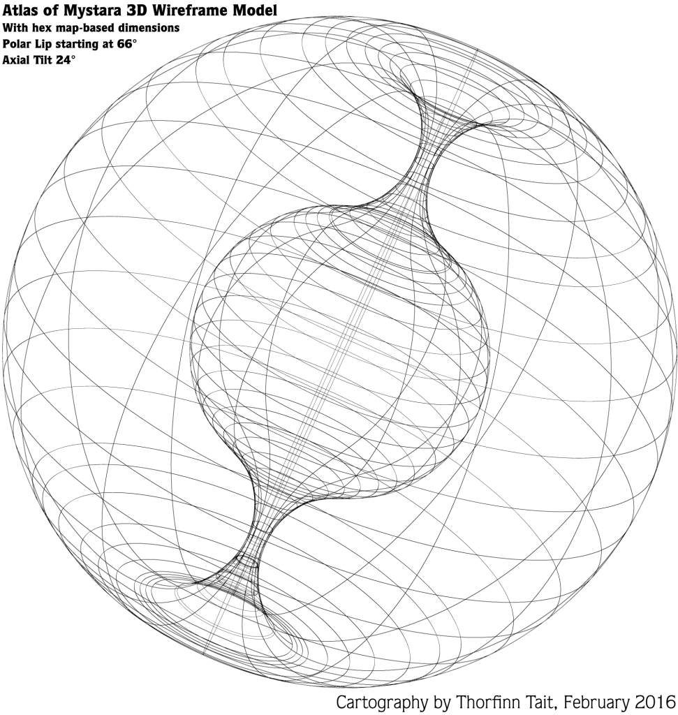
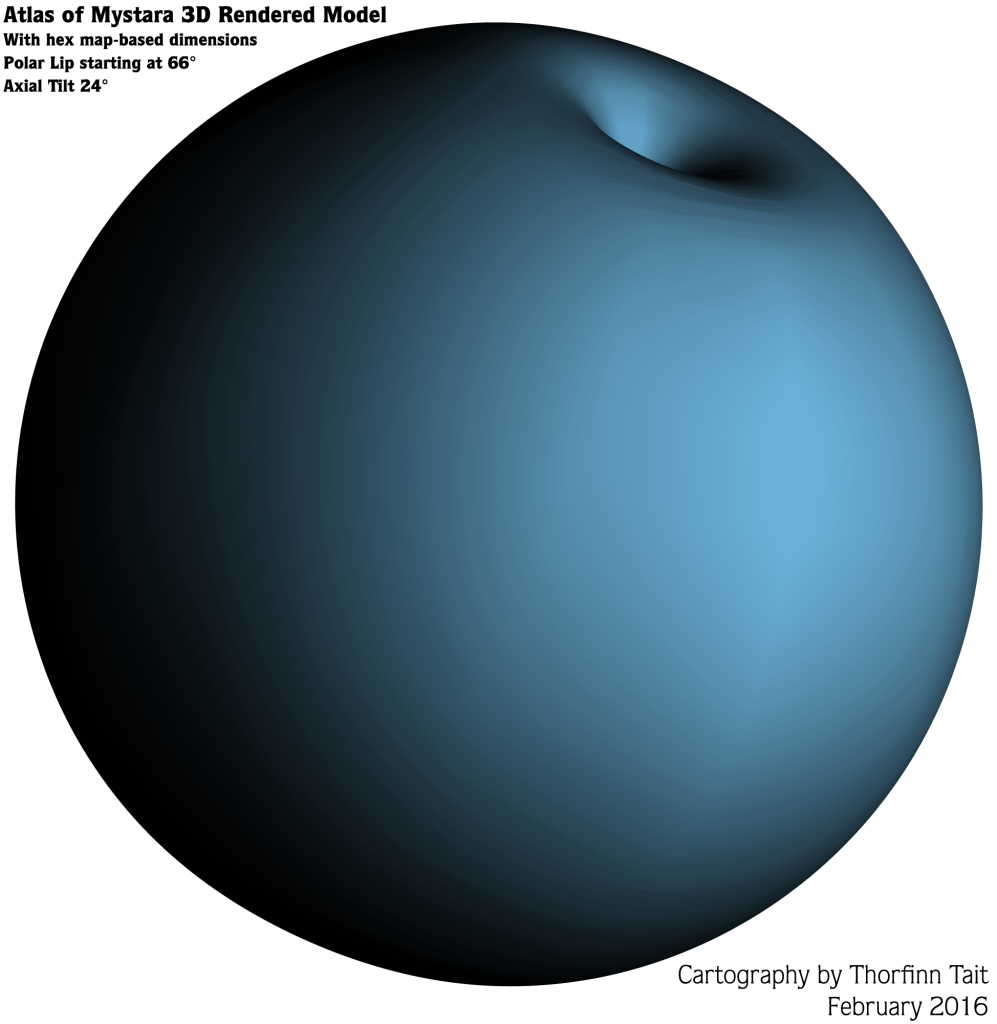
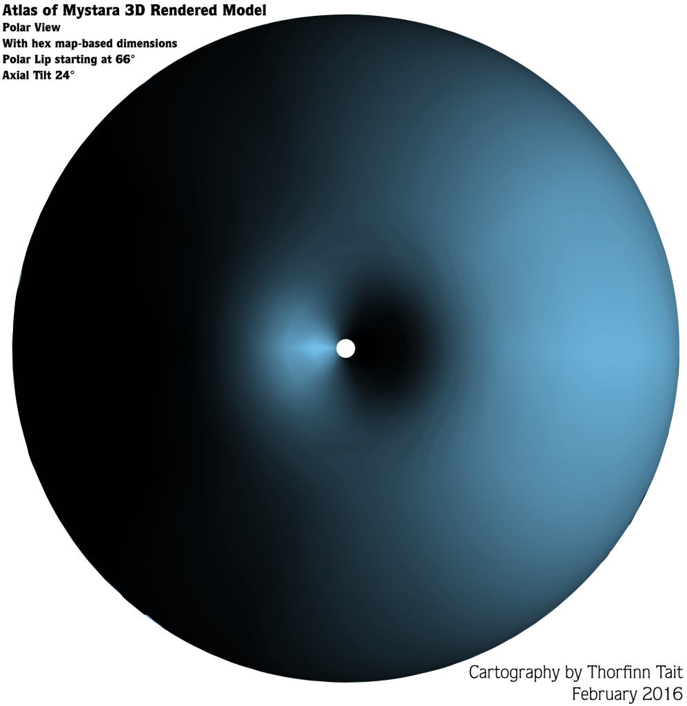
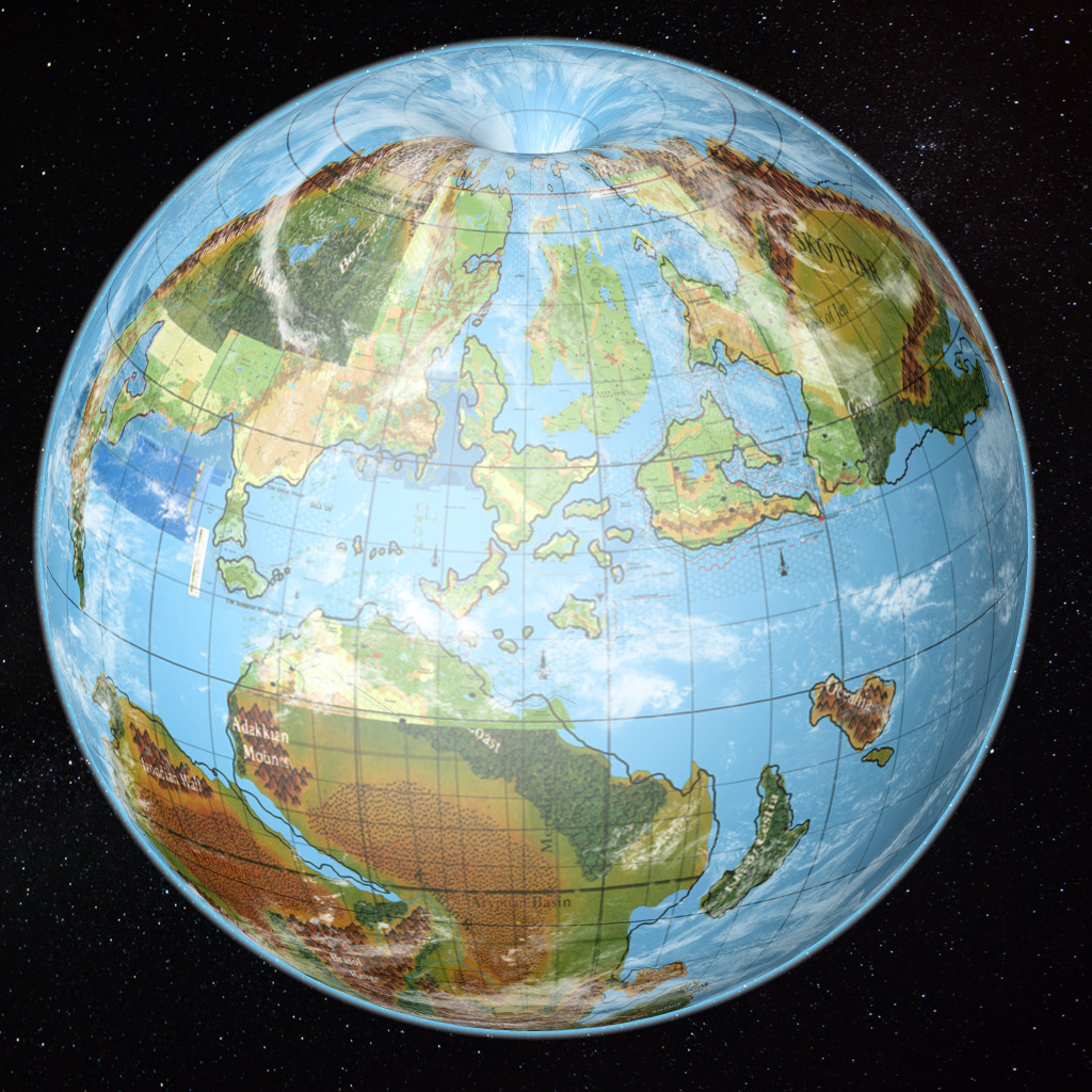
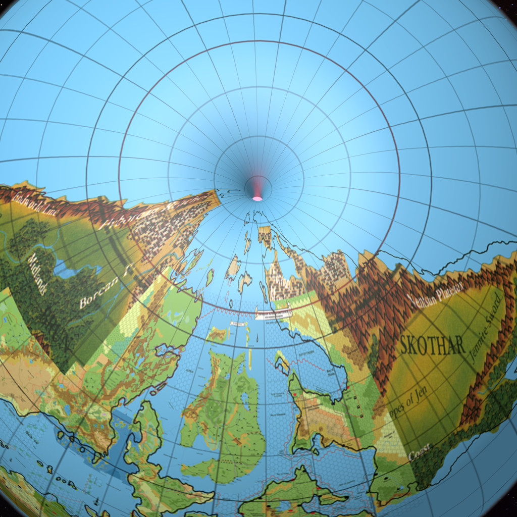
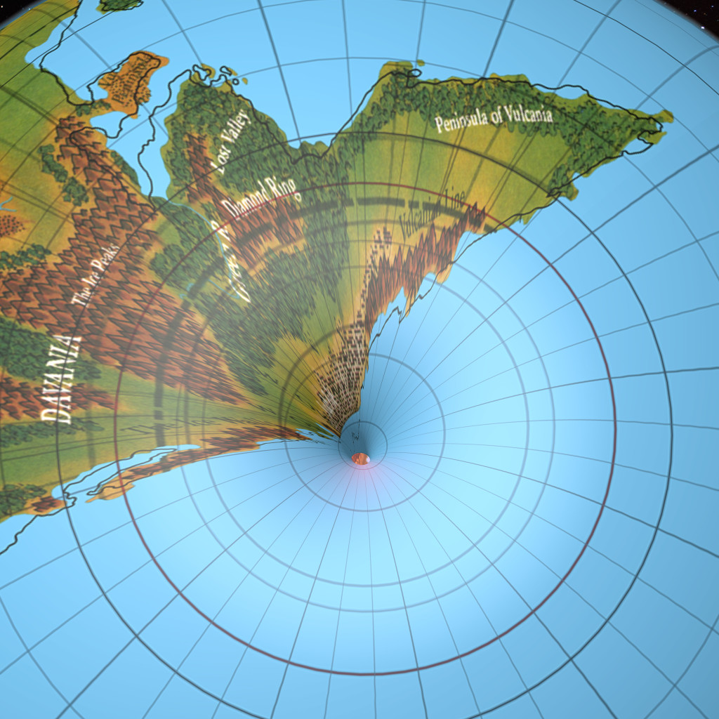
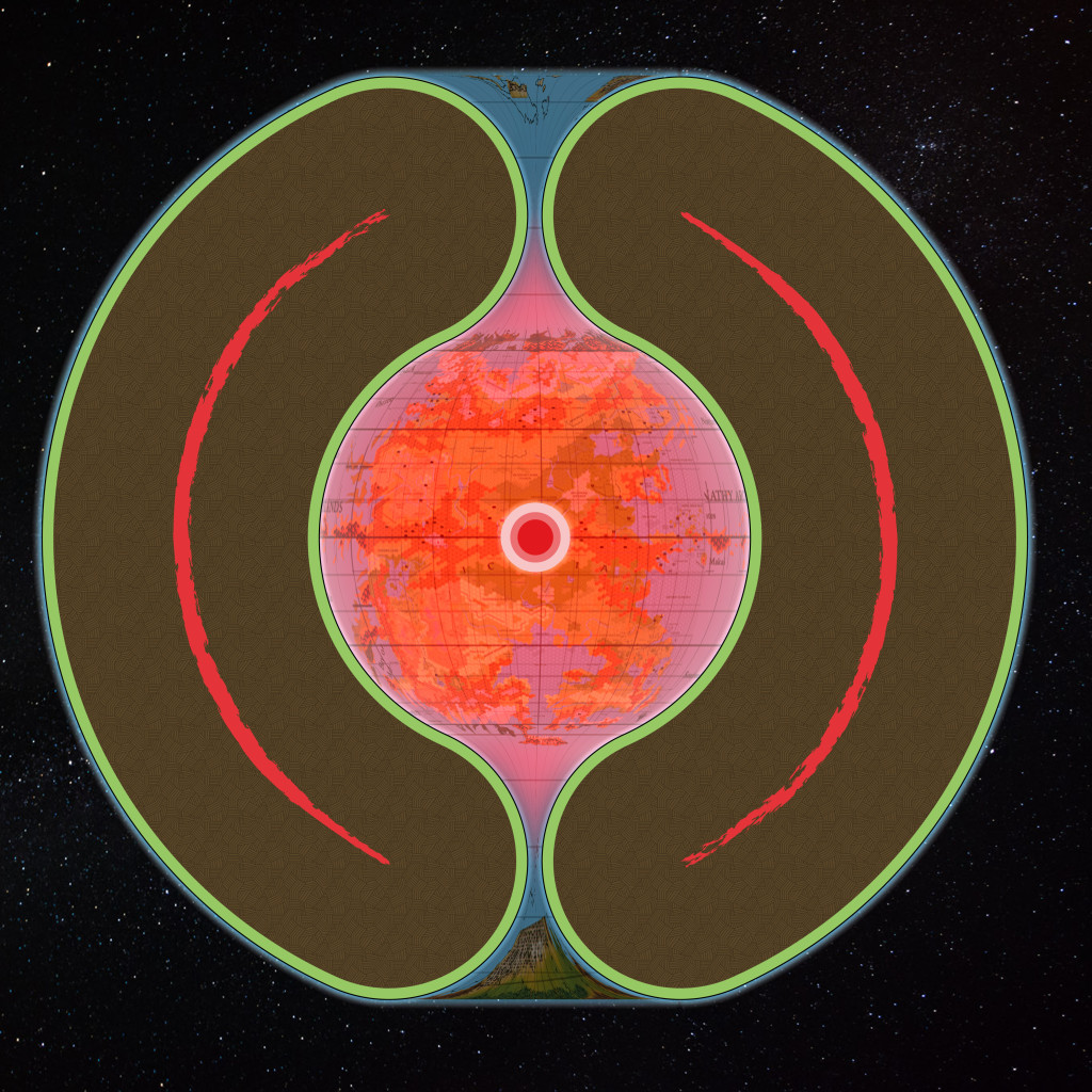
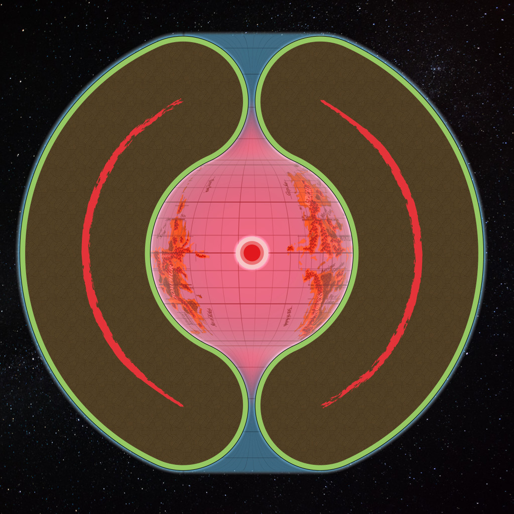
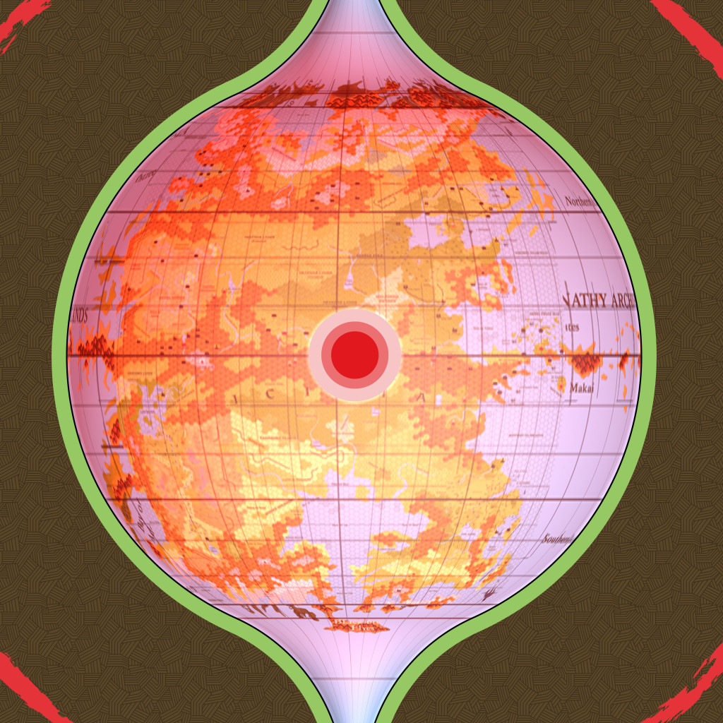
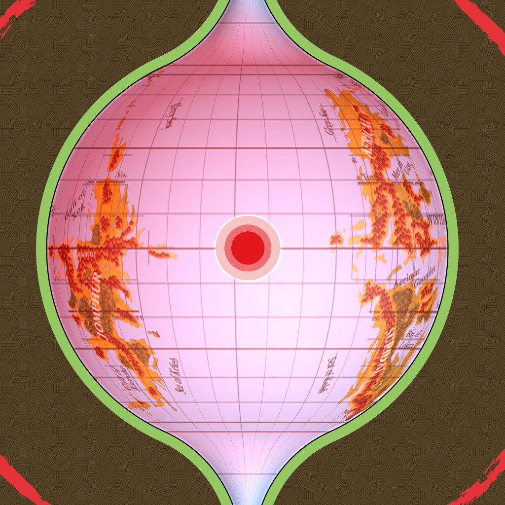
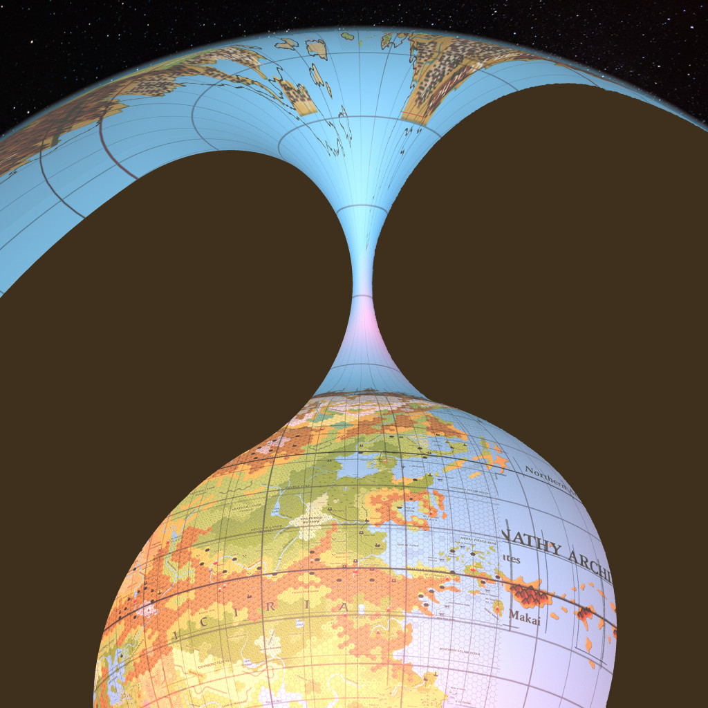
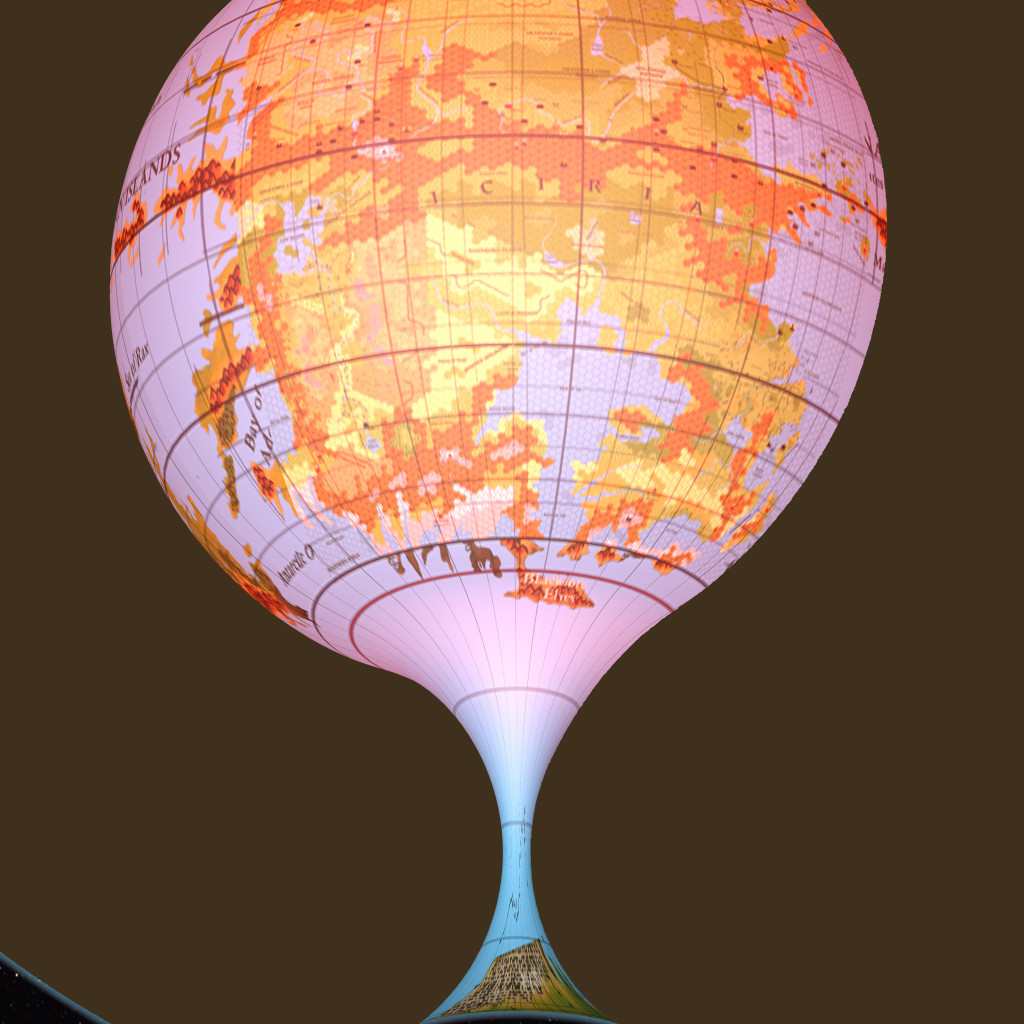
It also means that every settlement now has coordinates. And I can do things like calculate areas or measure distances with ease. Of course I can also add the maps to the 3D globe model with great accuracy, and indeed create alternate projections to show the world with different parameters from what we’re used to.
But I know that what really interests most of us is the hex maps. So my next step is to create master hex maps, marking very general terrain along with highly precise coastlines and major rivers. I’ve split the Outer World into three maps, one for each continent.
Remaining Issues
I’m sure you’ll be unsurprised to hear that there are still some outstanding problems to overcome in creating this set of maps.
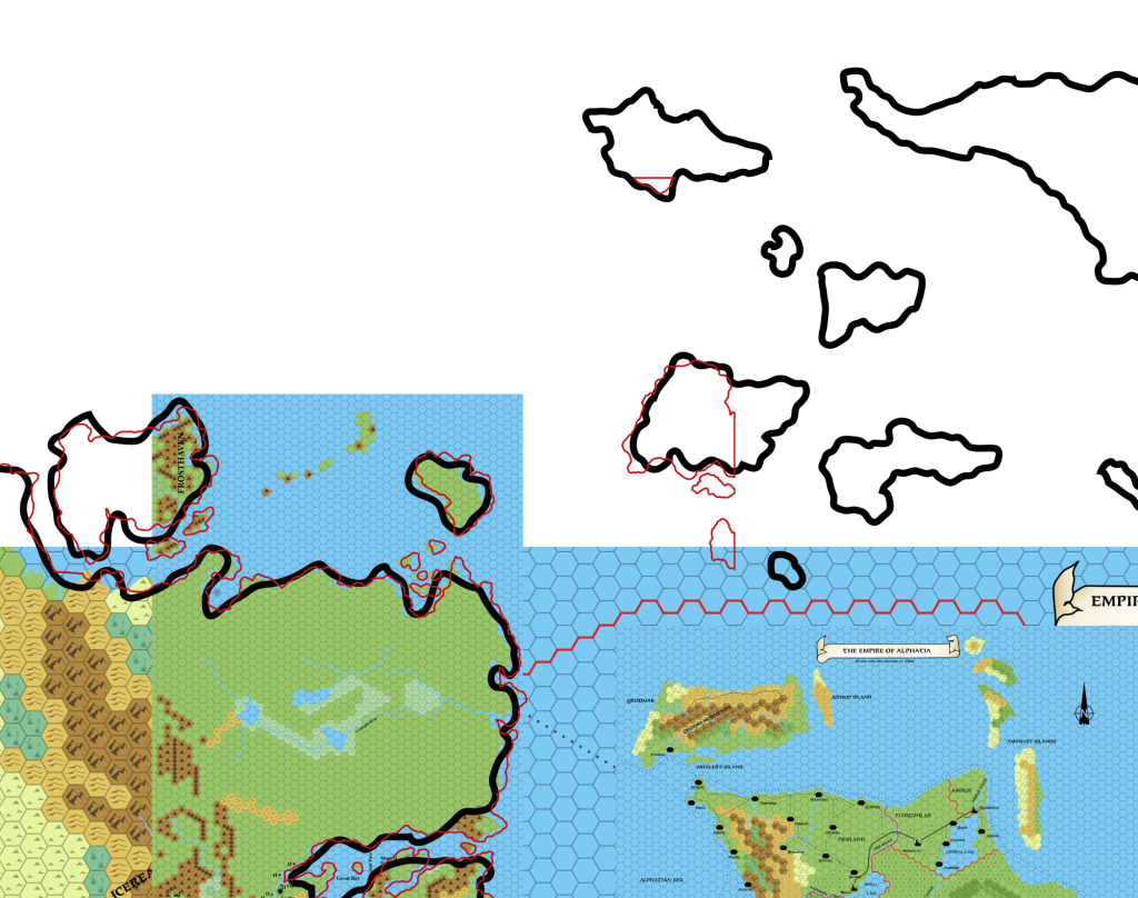
Although I tackled almost all of the major issues in my project two years ago, I mainly concentrated on the big things: reconciling the hex maps of various scales, working in the shapes from the world maps without breaking the hex maps, and fixing down the precise relative locations of all the major landmasses.
But there are still some rough edges to deal with, and as always I’d like to ask for your feedback before moving forward with these.
The Yalu Bay Problem
One of these issues that I have yet to tackle is the precise shape of Yalu Bay. I’ve been talking with Carillion about his wonderful Orc’s Head Peninsula/Trident Bay/Great Northway Lands map, which stunningly recreates one of the only official maps I have yet to reproduce: Dungeon 6’s Great Northway Lands. He did a really great job of this.
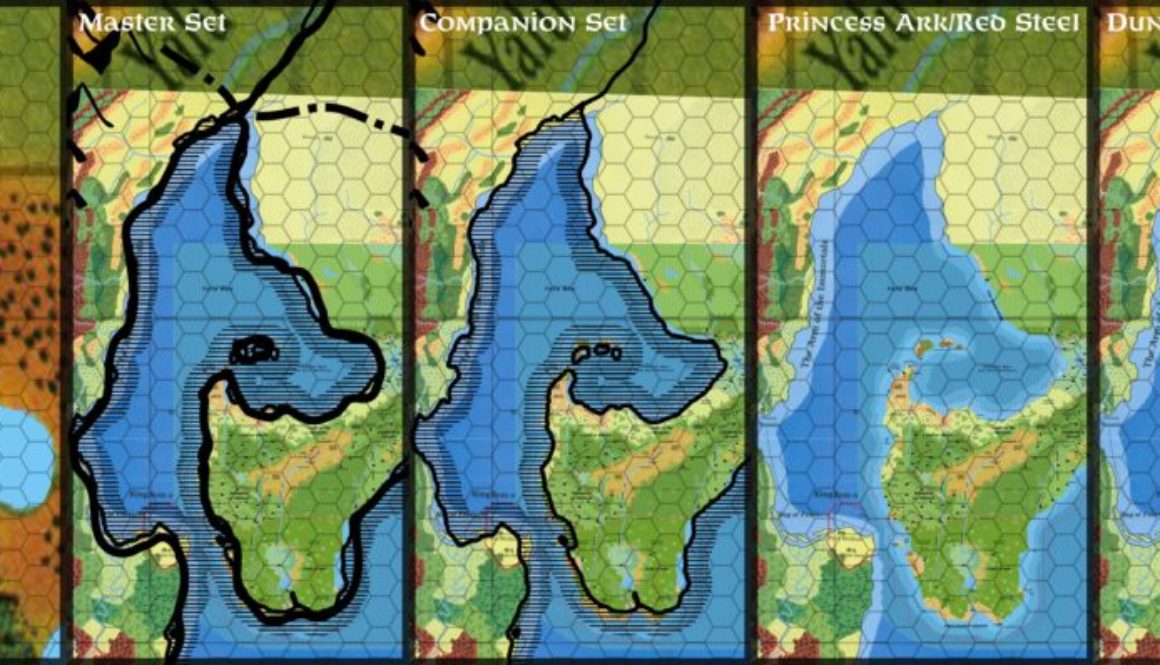
Unfortunately, the Dungeon 6 map is also a confluence of discrepancies between all of our sources. In particular, we have a real headache in the coast of Yalu Bay and the precise location of the Mud Water Cove — the estuary of the Great Northway River. No, in fact it’s the Yalu River (more of this in a moment).
To sum up the situation, we have the following sources, grouped together like this:
- Companion/Master Set Brun and world maps
- Hollow World Set Outer World map
- X9/Dungeon 6 24 mile per hex maps
- Princess Ark/Red Steel/Savage Baronies 8 mile per hex and non-hex maps
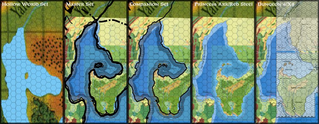
Option 1: The continental and world maps are problematic as sources in that they require alignment with other landmarks in order to resolve their exact locations, and I’ve established previously in my Lining Up project that there is no single fit — I had to cut Brun up into a number of sections to make it fit properly. So in theory, the continental maps could be placed in relation to either of the other groups. In practice, they don’t fit very well anyway, and are more useful as general guidelines; typically, lining them up with one thing will make everything else go out of sync. Nevertheless, we already have these placed to the Orc’s Head Peninsula in order to define the relative position of it to the Arm of the Immortals, so it is an option.
I’ll dismiss the Hollow World Set map out of hand; I had to warp it severely to get it to fit at all, and in general the fit is a nice guide for terrain, but not worth looking at beyond that. This was previously noted in the Lining Up series.
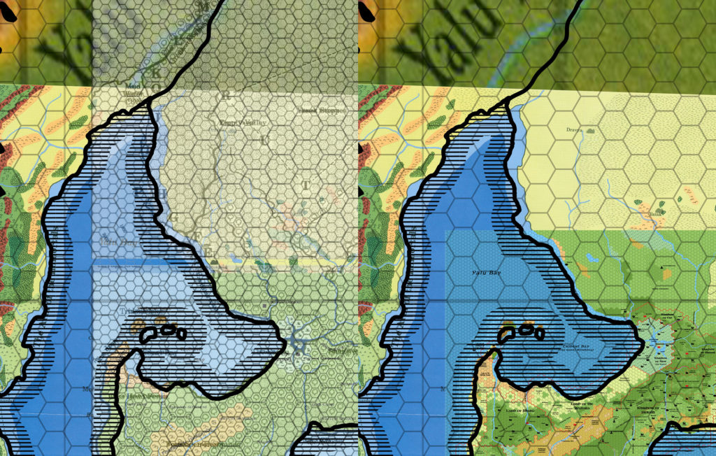
This leaves us with two competing groups, representing the first era of mapping and the later stage. Both groups are internally cohesive, but they’re largely incompatible with each other.
Option 2: X9 fits nicely with Dungeon 6 (unsurprisingly since Dungeon 6 incorporates most or all of X9).
Option 3: Similarly, the 8 mile per hex Princess Ark maps fit very nicely with Red Steel, which in turn fits rather well with Savage Baronies (after rotating — for unknown reasons that map did not have north pointing directly up).
Now, the general policy of the Atlas of Mystara is to give priority to larger scale maps, and also to newer maps. So my instinct would be to go with the option 3, which after all includes both of these things.
But at the same time, Dungeon 6’s map includes information not available in any other source, which of course also deserves to be added to our mix. The Yalu River valley is a significant portion of this.
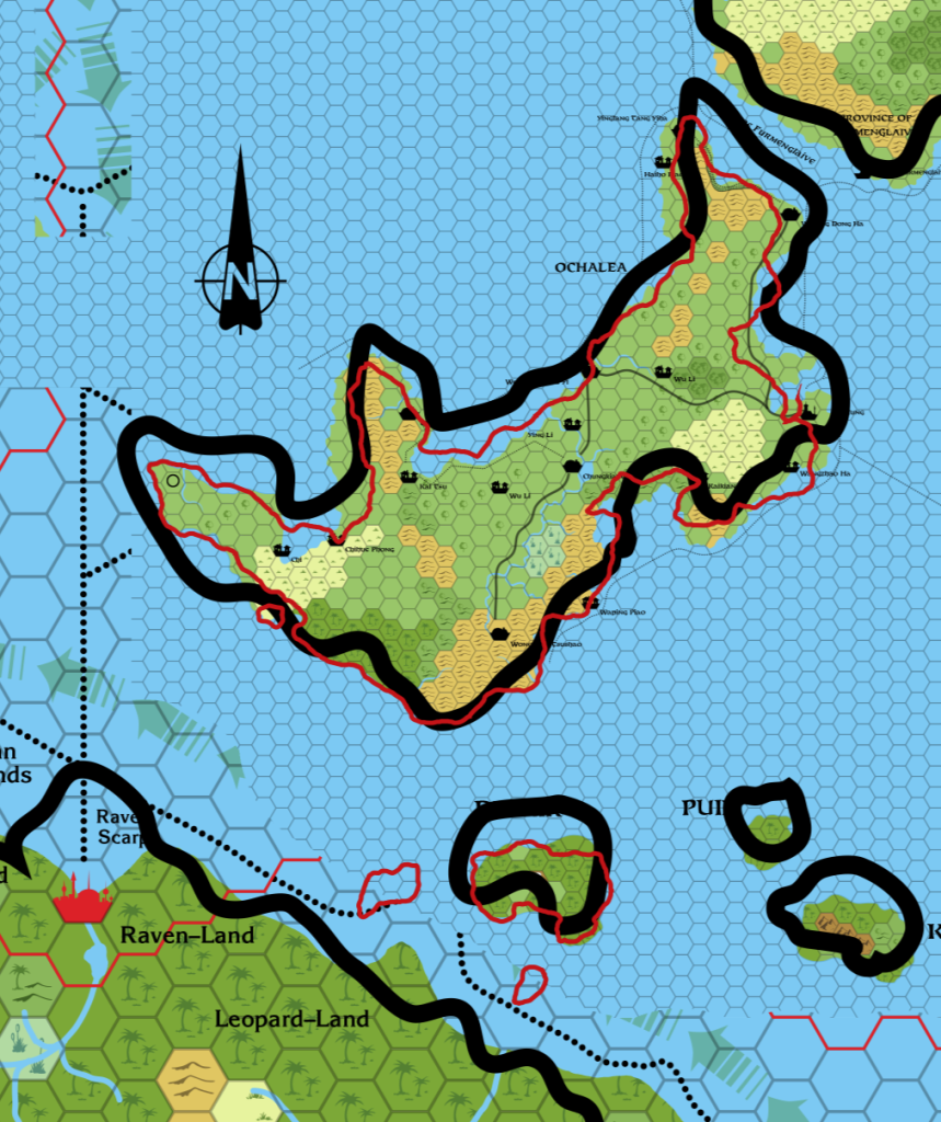
It turns out that the incompatibility between X9 and the Princess Ark 8 mile per hex maps is not total, nor indeed completely uniform. The Orc’s Head Peninsula is offset one 24 mile hex to the southeast compared to X9, while the Bayou seems to be offset by half a 24 mile hex in the same direction. The Tall Grass Coast northwest of the Bayou does not align well between these two groups, and the Savage Baronies map’s position of the Yalu River’s mouth is about a hex and a half south-southeast of Dungeon 6’s.
What to do?
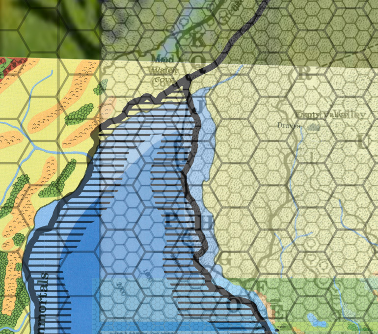
Here’s my proposed solution: as none of these seems to stand out as the best solution on its own, perhaps a compromise would be best.
Since I’ve used CM1’s outline for the coasts of the Arm of the Immortals, it seems reasonable to use it here, too. There’s a further issue: the inland Yalu Sea’s location also needs to be fixed by this map’s placement. While Dungeon 6 is a nice map, it perhaps overlooks that the river here is not in fact the Great Northway River, but rather the Yalu River, which flows down all the way from the Yalu Sea to the northeast.
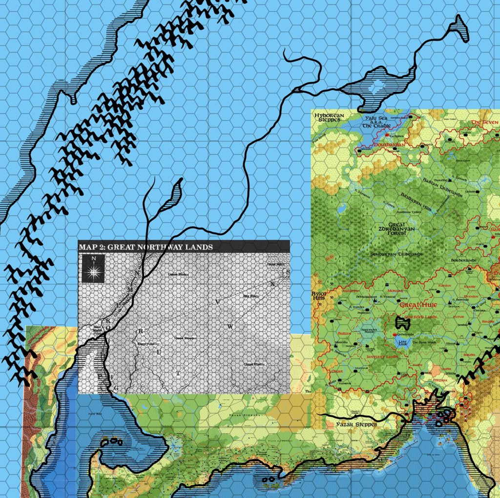
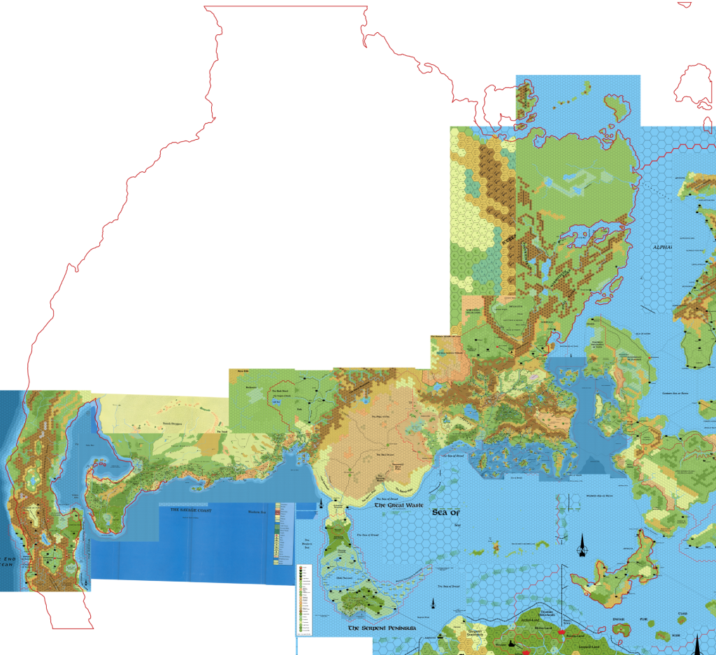
I’ve pasted in Christian Constantin’s Hule & the Midlands map for reference here. It would appear that the Yalu Sea should be a little further north than he has placed it, going by CM1. Taking into account the weirdness with the Savage Coast (which for some reason on the hex maps seems further north than the continental map shows), it’s perhaps two big hexes (they’re 72 mile hexes) south of where it should be. Going solely by this placement, it’s there hexes too far south.
In any case, note that Dungeon 6’s map taken with CM1 would place the Yalu Sea another 72 mile hex north.
I can actually see two possible compromises:
Compromise 1: Take the Great Northway Lands map as is for the lands shown on the map, except where over-ridden by an 8 mile hex map. This means all of the land from just north of the Bayou would be taken from the Dungeon 6 map rather than Red Steel or Savage Baronies. The west coast of Yalu Bay uses CM’s coast from where Dungeon 6’s map ends. The resulting Yalu Bay will extend one 72 mile hex north of CM1’s map. Finally, use Dungeon 6’s positions for the Yalu River where it is shown. At the branch just before the map ends, merge into the rivers shown on CM1. Thus the upper Yalu River and tributary (including its lake) will be exactly as shown on CM1, but the lower parts will be as shown on Dungeon 6’s map.
Compromise 2: Revise the Great Northway Lands map to use CM1’s Yalu Bay outline in its entirety. This means moving the river valley one 72 mile hex southeast. Another option would be simply to move the whole map one 72 mile hex southeast, which has the advantage of lining it up better with the Bayou’s central island. It would also move Yazak and Richland closer to where they are shown on the Savage Baronies poster map, perhaps allowing the terrain from both maps to be merged.
It all comes down to placement of Dungeon 6’s map. I’m thinking perhaps Compromise 2 is the best option here, since it preserves all the maps by altering the placement of Dungeon 6’s map — which is already out of sync with the 8 mile per hex maps, since its bottom half is based on X9, while the 8 mile maps have their own separate configuration.
Phew! If you were able to follow all that, please let me know which of these you prefer — or if you have any better ideas to resolve this.
Once this issue is settled, I have at least one more for your consideration.
