Lining Up Mystara XIV
First, thank you very much for the wave of feedback since my posts last weekend. I think I have finally caught up with all the messages — apologies if yours slipped through the net. I hope this article answers all of your comments and questions.
I’m going to examine three more placements, all based on your feedback.
Placement 4
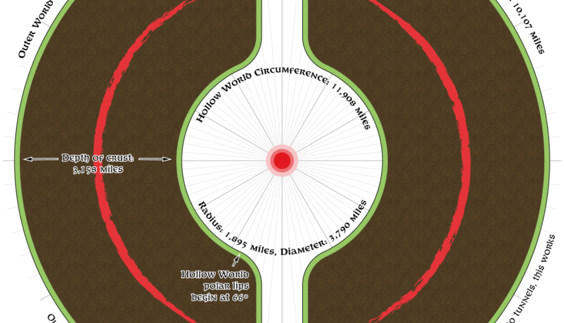
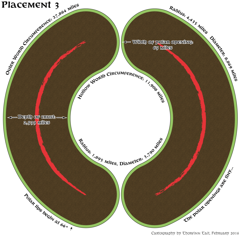
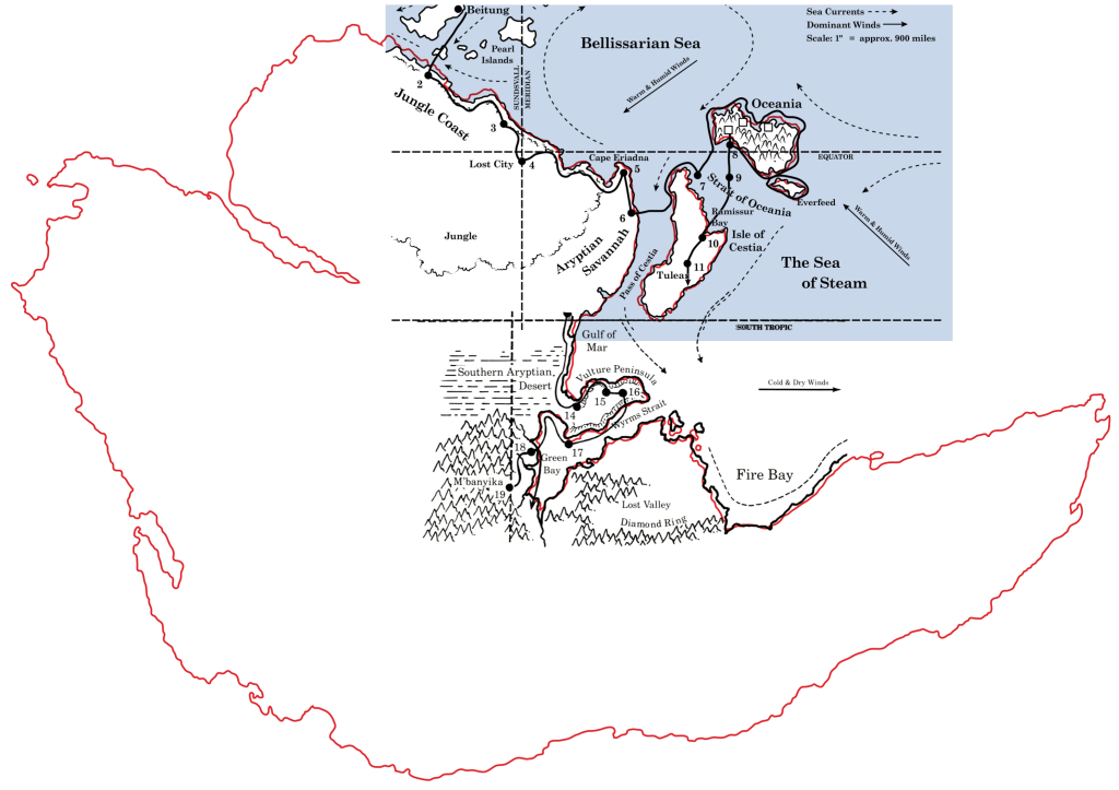
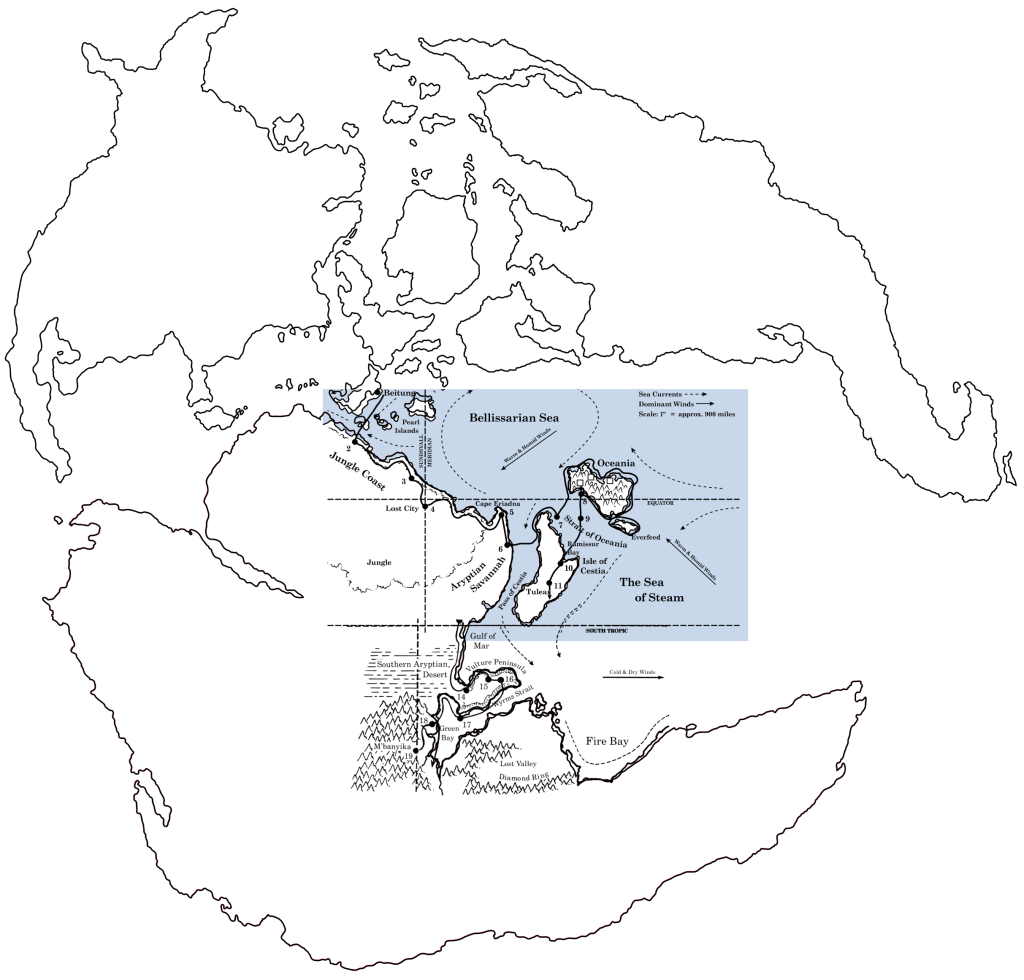
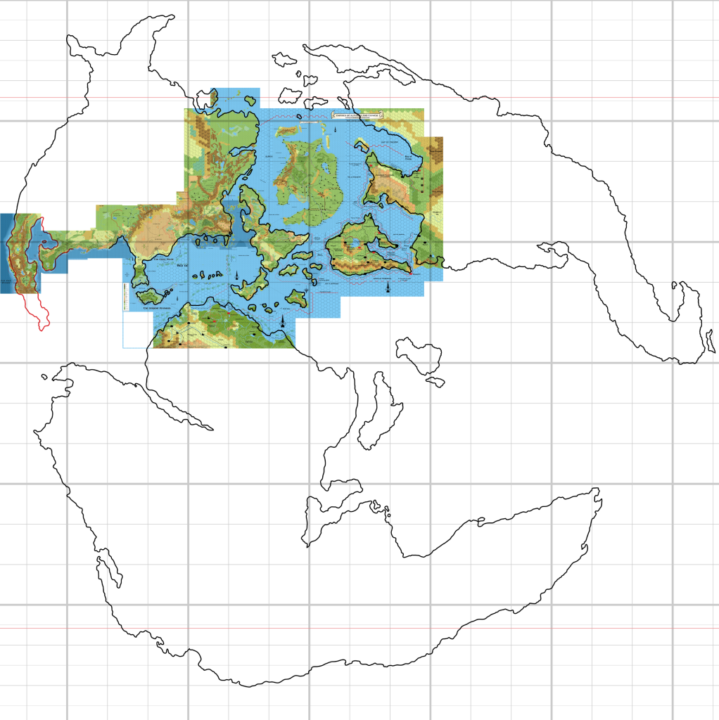
Both Paul Dupuis and Michele Carpita advocated a tunnel-shaped polar opening, to solve the problems with Mystara’s size. Here’s what I’ve come up with. First, the latitudes are the same as placement 2:
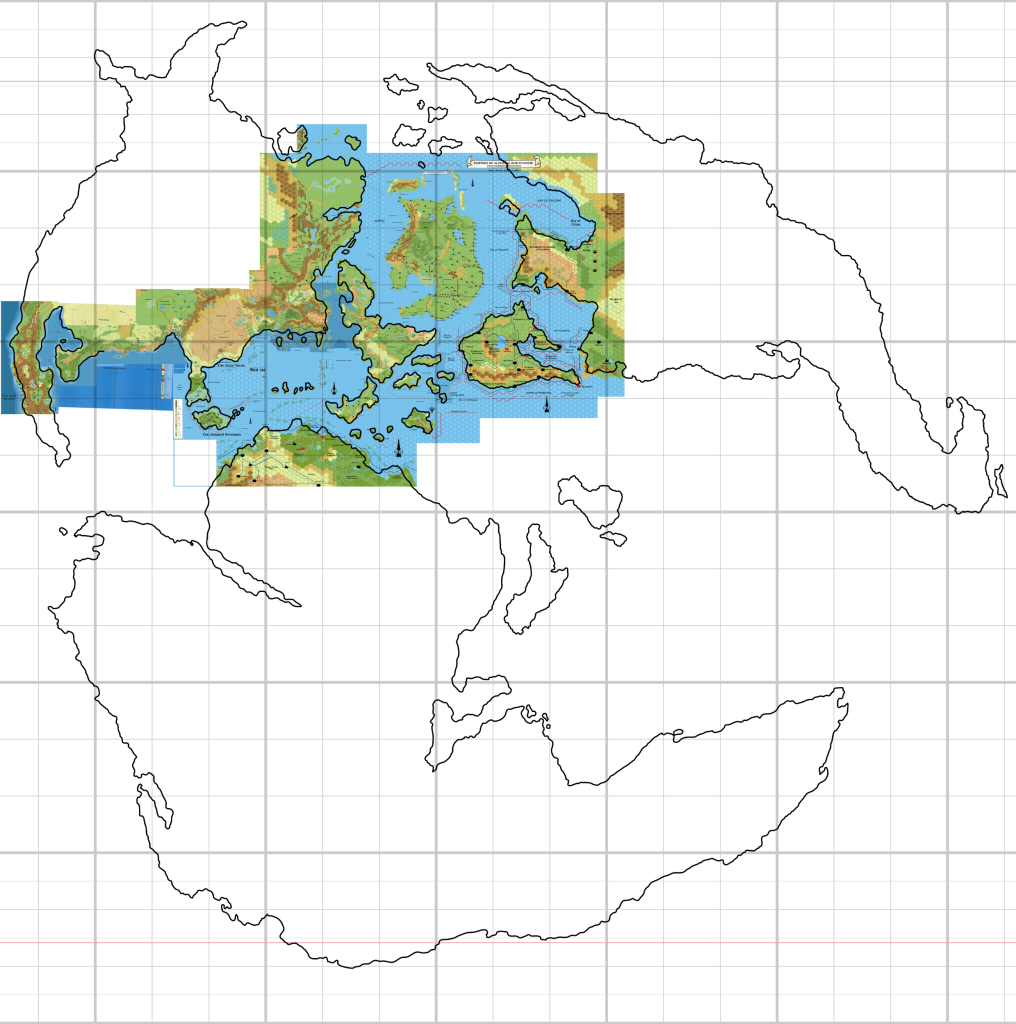
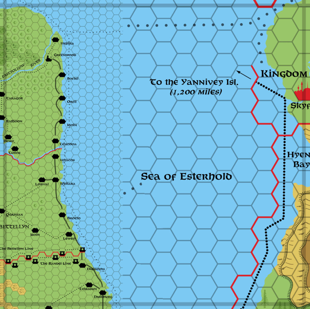
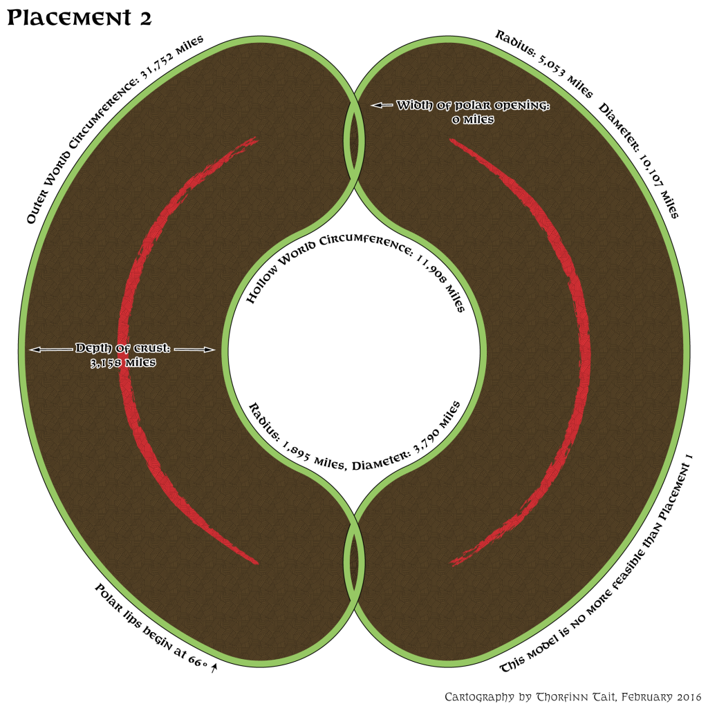
This of course means that the size of the world is the same 31,752 miles as placement 2, too, with 12.25 hexes to every 10º:
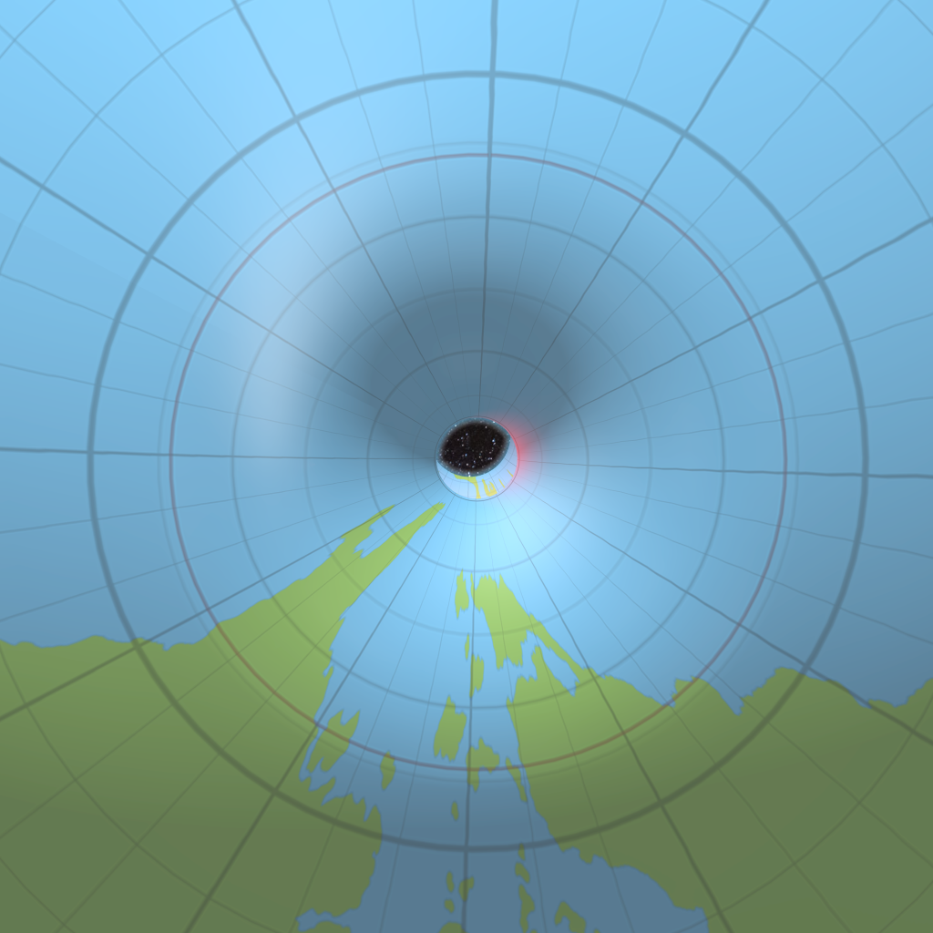
But the polar lip now starts a full 10º higher, at 76º. The Hollow World remains largely the same, with the polar lip starting at 66º, although the curve of course is different.
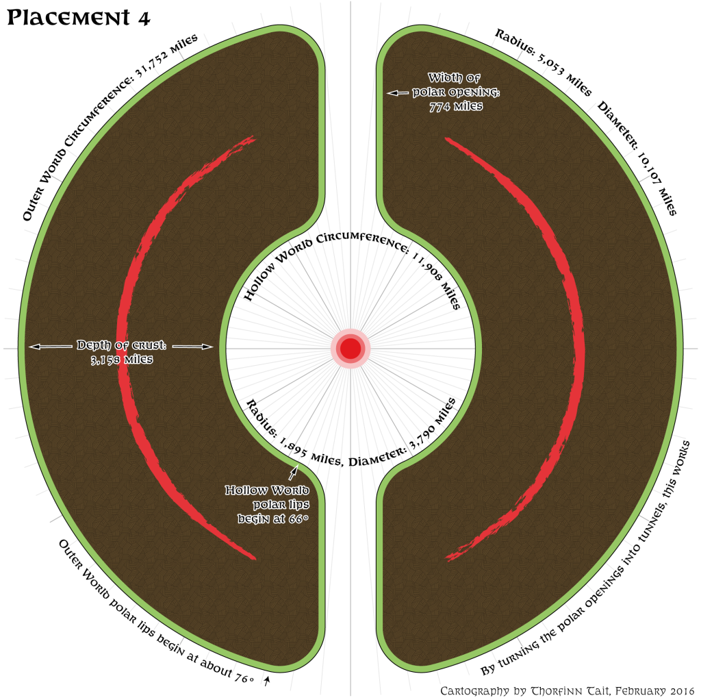
I used the official figure of 774 miles for the width of the polar openings at their narrowest point. Of course they could be a lot smaller if we wanted them to be, but I think the terrain fits pretty well like this anyway; the land beyond the red lines on the map above will easily fit onto the curve before the tunnel begins.
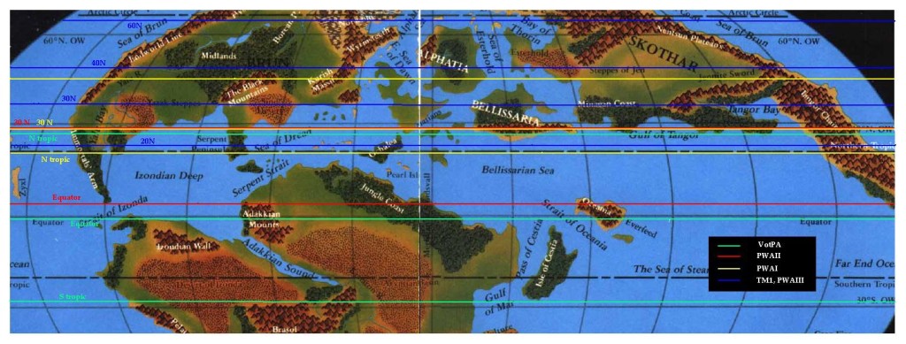
This seems like the best we can do using the Princess Ark/Hollow World Set equator. But what about that other one — the equator shown on Poor Wizard’s Almanac II‘s map?
Placements 5 & 6
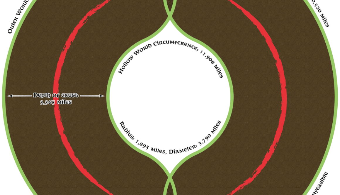
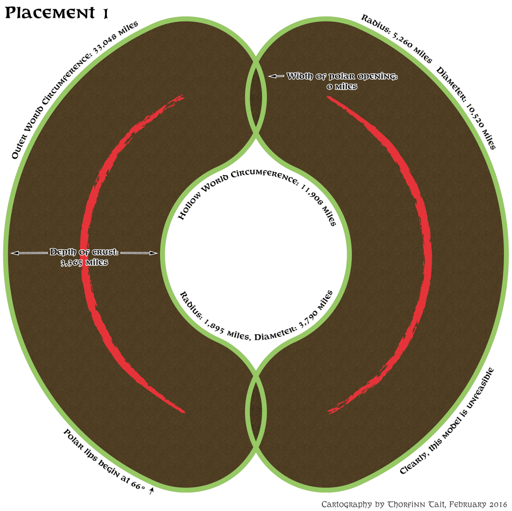
Sheldon Morris proposed that we use the PWA2 equator. Back in 2012, he used it and 72 mile per hex maps to calculate an Outer World circumference of 25,920 miles. That is small enough to solve our problem with polar openings, even using the gradual curve model, I believe. This circumference comes with the bonus of 1º being equal to 72 miles.
However, Sheldon’s calculations were based largely on 72 mile per hex maps, and as we have already seen in this project, those unfortunately are not to be trusted. Our model now is primarily based on 8 and 24 mile per hex maps, with the 72 mile per hex maps filling in just a few gaps with Davania, Skothar and Bellissaria. The main difference is that the 8 and 24 mile per hex maps include more space between the various areas.
Personally, I don’t think the neat mathematics of 1º = 72 miles is as important as getting a good fit with the latitudes, so I’m going to present my own take on this, too.
Placement 5
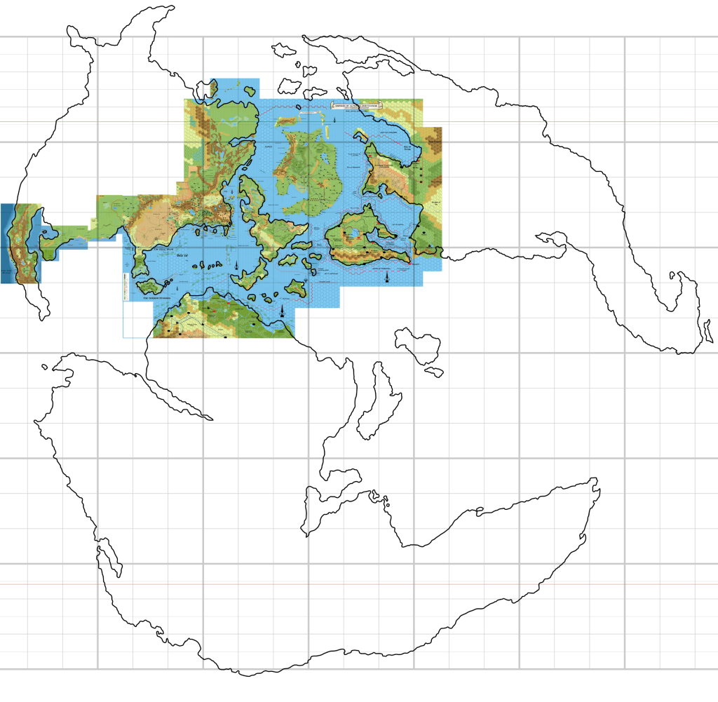
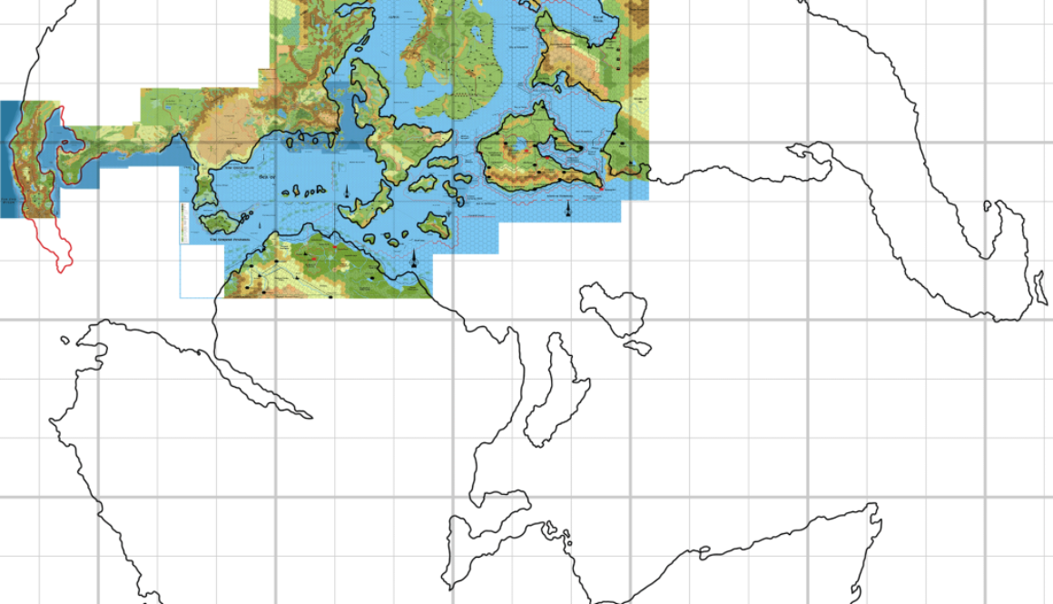
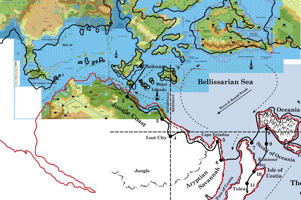
My take on the PWA2 equator is that it could perhaps work best using the official figure for Farend at 60ºN. Take a look:
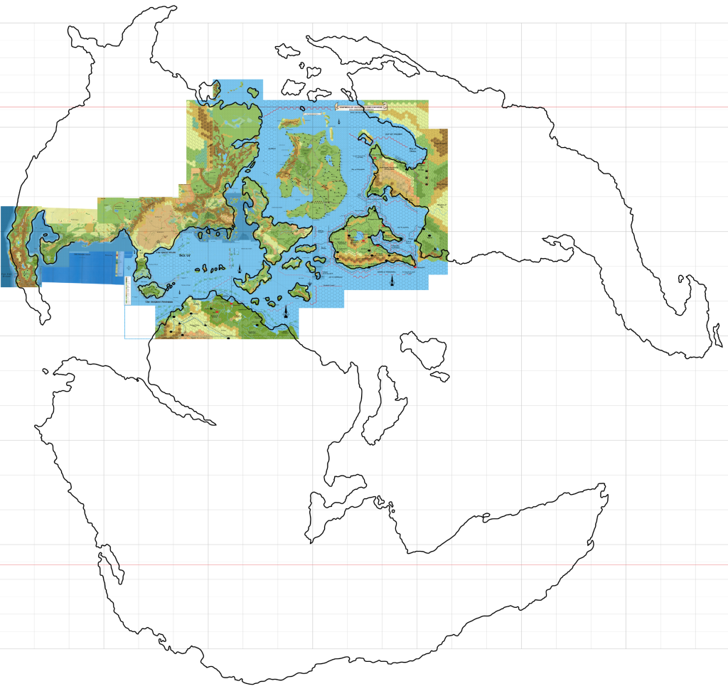
Applied to the gradual curve model, this will mean that Frosthaven sits at the top of the world, near or on the point of absolute north. Farend is at 60ºN, Sundsvall 45ºN, Landfall 44ºN, Thyatis 31ºN, and the eastern Thanegioth Archipelago around 18ºN. These numbers are all rather close to the official figures.
The main difference with this model, unsurprisingly, is that a large chunk of Davania will be moved further into the polar opening. It’s actually less of a chunk than it may appear to be, because (due to the shape of the world) southern Davania is nowhere near as large as it looks. But it’s still quite a lot. And of course Davania itself will be smaller, since it straddles the equator less.
It’s still huge, nonetheless.
I reckon that Davania’s southern tip will find its way far into the polar opening.
It’s worth mentioning that a tunnel model could still be used with this, but if a gradual curve model is an option at all, I’d definitely prefer to go with it.
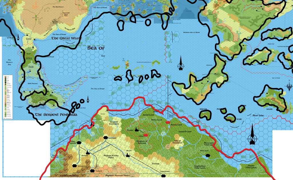
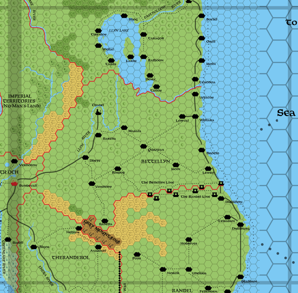
Let’s do some counting:
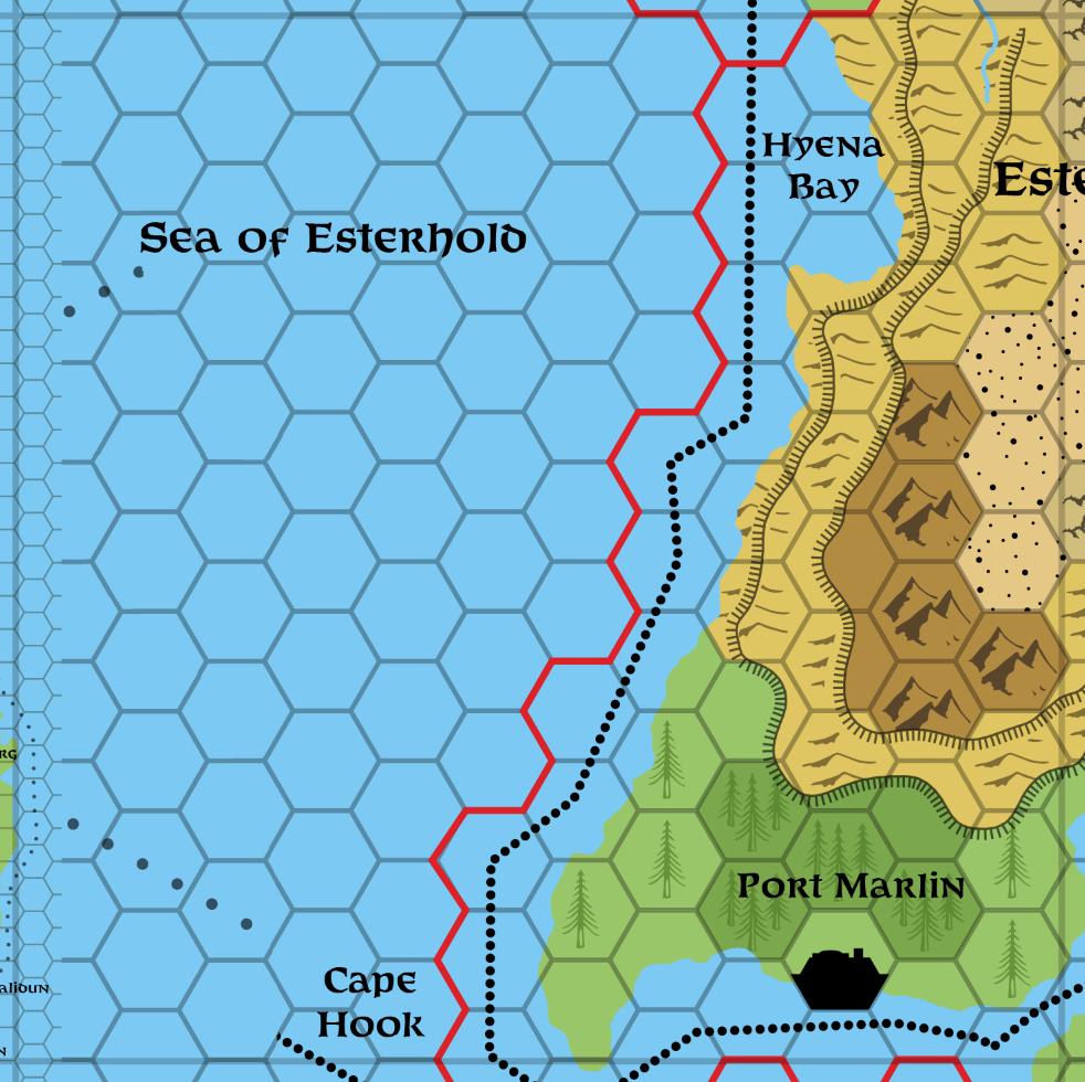
This is 10.5 hexes precisely. 10.5 x 72 = 756. 756 / 10 x 360 = 27,216 miles circumference.

We need to see some mock-ups of this on the 3D model, but I think this is the best option so far. Mystara is quite a bit bigger than Earth, but not nearly as much as it was with the other equator. The official latitudes are largely in place. The only potential problem is with how much of Davania and indeed northern Brun and Skothar may fall into the polar openings.
Placement 6
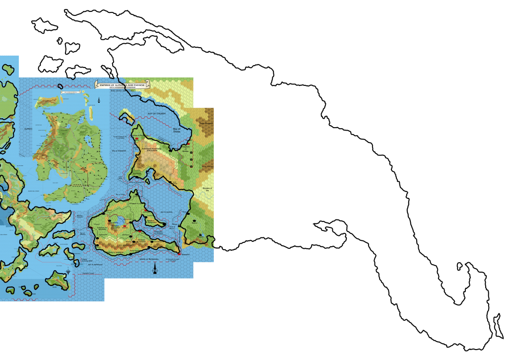
Last for your consideration today is Sheldon’s placement, albeit adapted to the Atlas of Mystara‘s hex map composite.
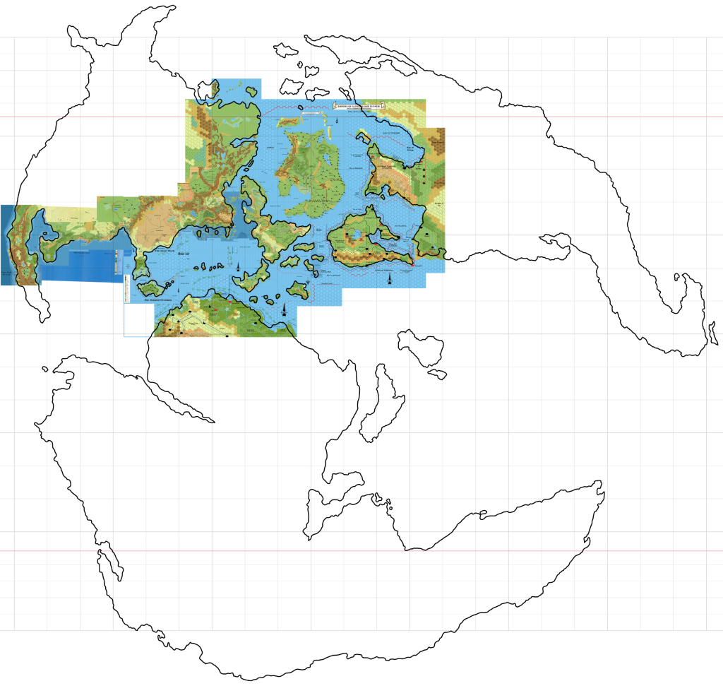
As you can see, it’s not all that different from placement 5 — just a bit more compact. The main difference is that reducing the length of 1º to 72 miles makes the world a bit smaller. Count the hexes, ten to each 10º:
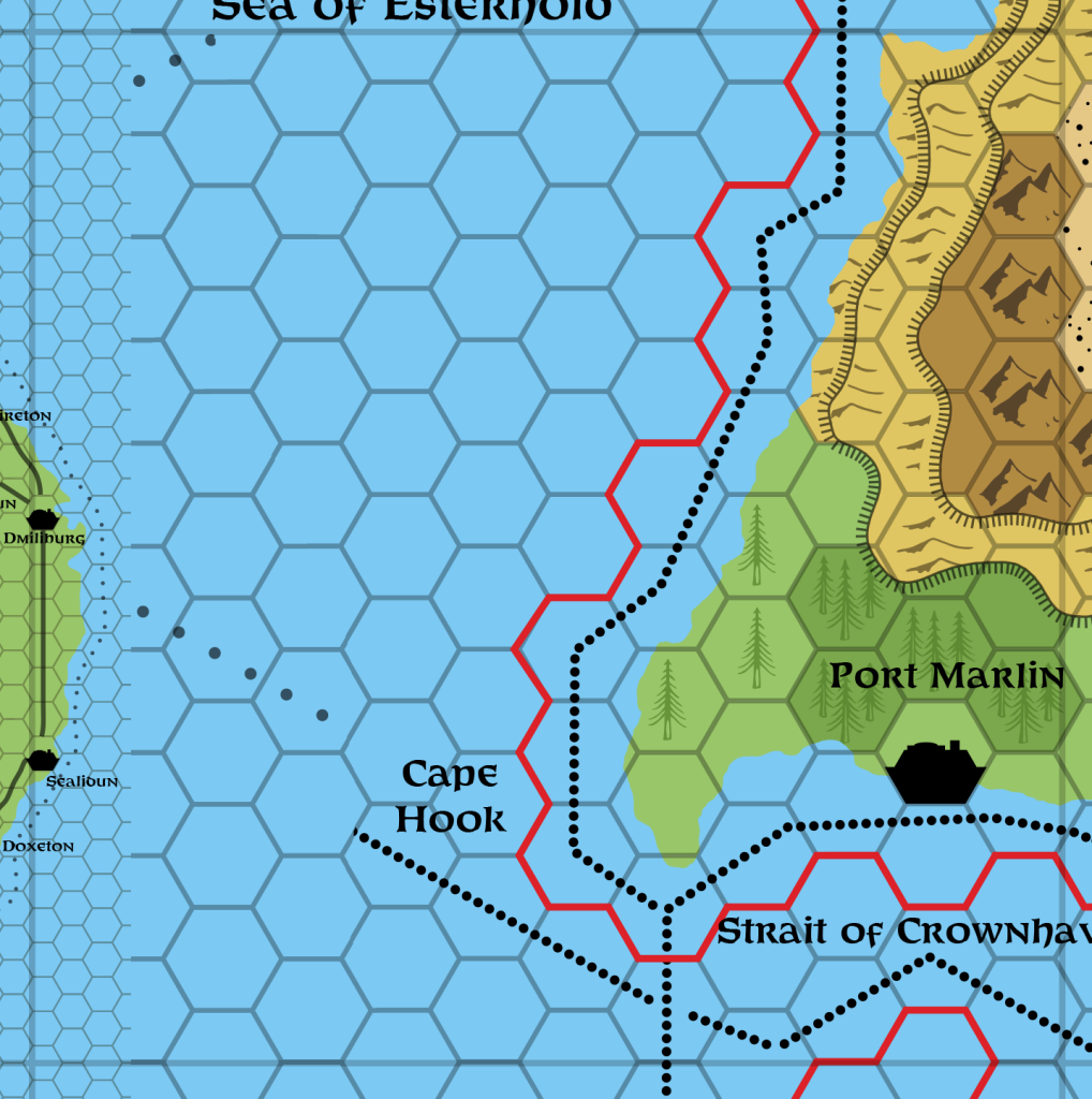
Everything is a bit further north: Farend is at 63ºN, Sundsvall 47.5ºN, Landfall 46.5ºN, Thyatis 32ºN, and the eastern Thanegioth Archipelago around 20ºN. Frosthaven looks as if it may be past absolute north, on the inward slope of the polar opening. The gap between the sides of the opening will be around 250 miles.
I prefer placement 5 to this one. The latitudes worked out better, with everything a little further south, and slightly less land in the polar openings. I don’t think it’s worth shrinking things just to make the maths rounder — especially since I believe that 72 miles per hex is an inappropriate scale. Hex maps work better at larger scales such as 8, or 24 at most. Smaller scales should be topographical maps, not hex maps.
In any case, you can all make up your minds for yourselves. I await your feedback. 🙂
