Araldûr Topographical Map (Patreon)
I’ve been very busy working on the next Calidar book, Dreams of Aerie, and as a result I’ve fallen behind on posting my latest Patreon maps here. To get back up to date, I’m going to post a new map each day for the next few days.
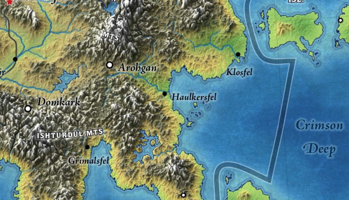
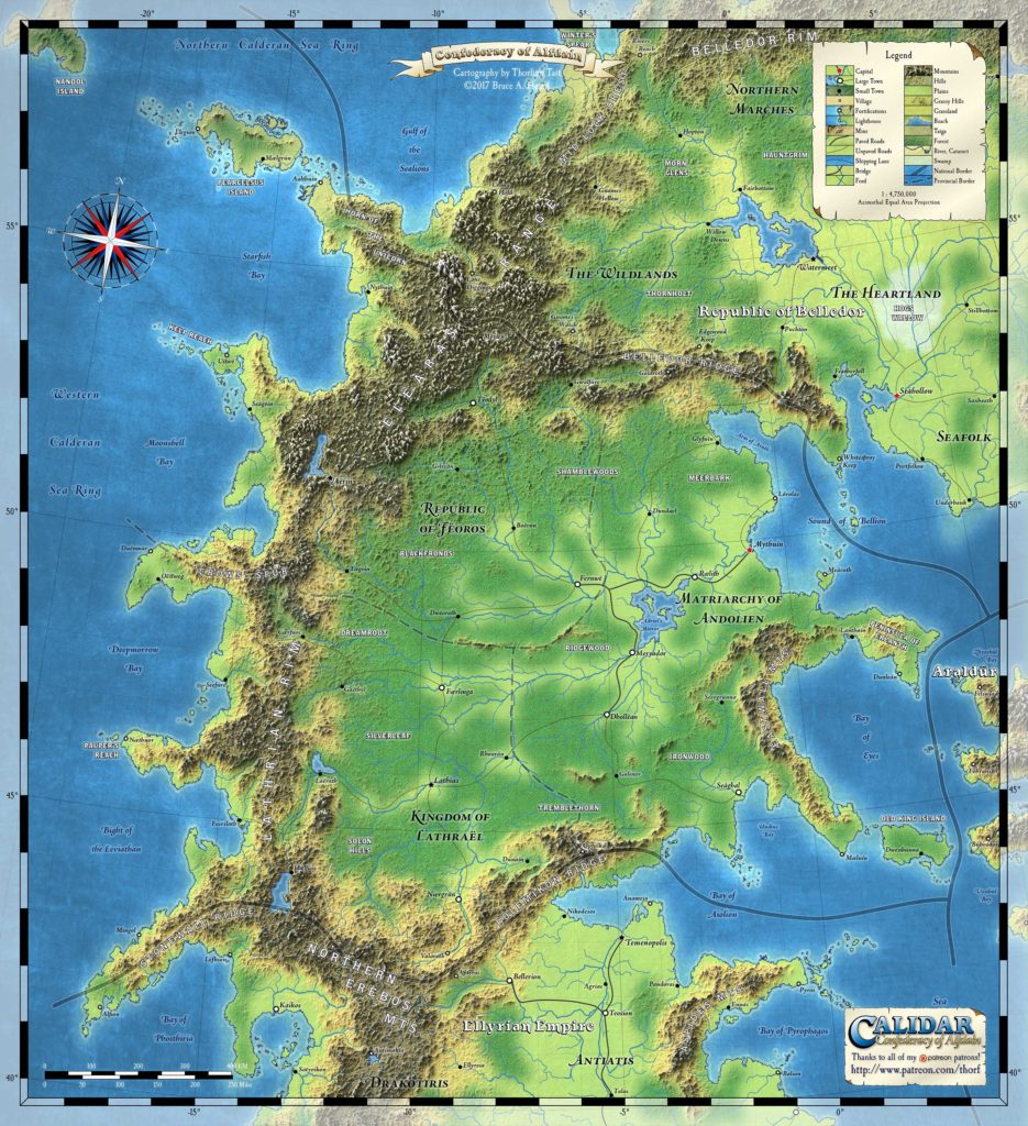
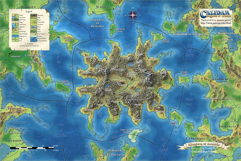
First up is August’s topographical map of Araldûr, Calidar’s dwarven kingdom:
This map was produced thanks to the generous support of August’s patrons:
Jesper Andersen, Azure Admiral, Trentin Bergeron, David Chart, Francesco Defferrari, Christopher Desmond, Joshua DiCicco, Paul Dupuis, Bruce Heard, Brian Isikoff, Eric Jackson, Grégory Le Louette, Wendy Lord, Harri Mäki, Nate Mangion, Gordon McCormick, Anna B Meyer, Sverre Midthjell, Hervé Musseau, Wolfgang Neckel, Cameron Paine, Thomas Pizard, Dave Poppel, Stephen Rider, Friedrich Röhrer-Ertl, Jeff Scifert, Robert Slaughter, Erin D Smale, Joshua Starnes, Kurt Stoffer, Maciej Szydłowski, Charles Tait, Sandra Tait, Greg Traeger, Douglas Zielsdorf.
Here’s an excerpt from the post for this map over at Patreon:
The mountains and valleys received a great deal of attention during the sculpting and erosion processes back in 2014, and I’ve been wanting to show them off properly for years. The twisting canyon-like valley running south from the central valley area out to the Inner Sea of the Prophets in particular took a lot of tweaking to make it work properly.
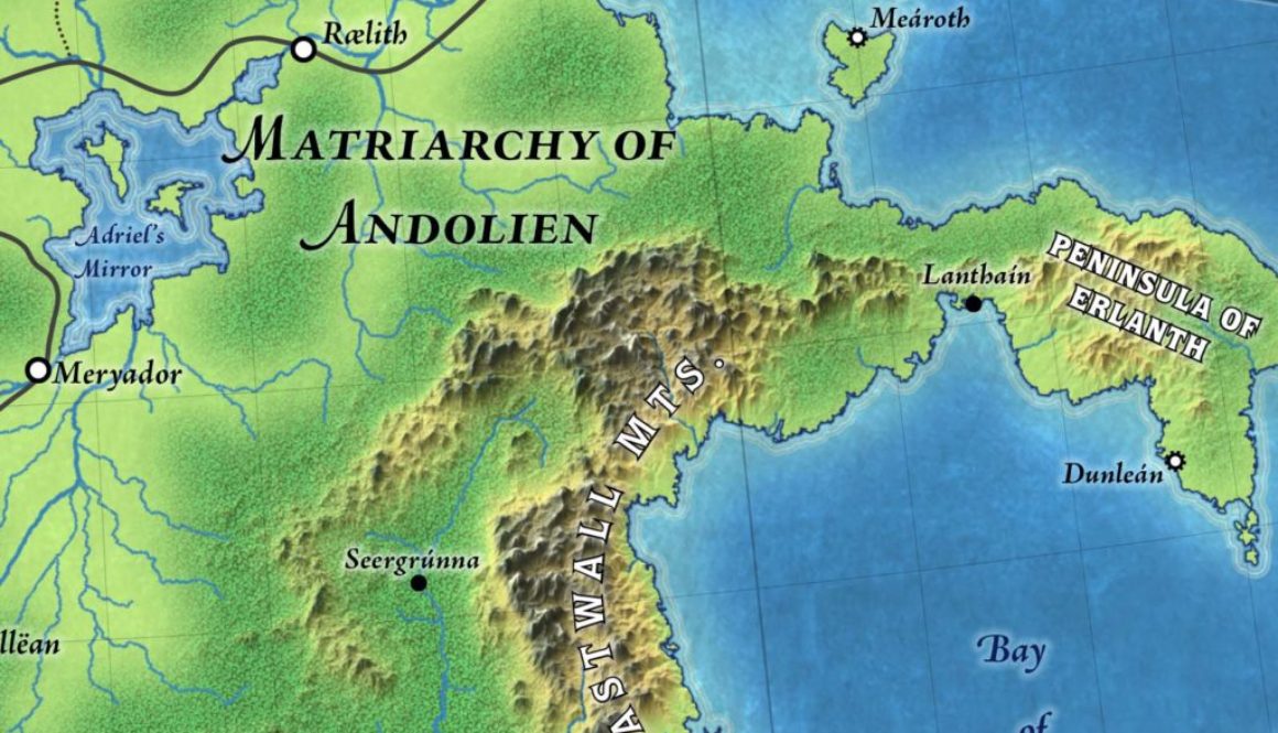
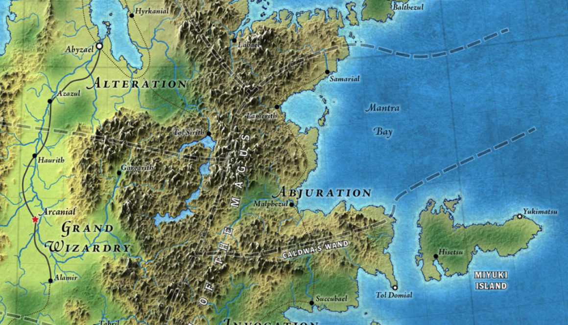
I’ve been slowly revising how I depict water depth, in an effort to make more of an obvious gradation. You can see the results here, with shallow/coastal, sea, and deep sea areas. I’ve also tweaked the ripples round the coasts, but I’m still on the fence about this version. The problem is that shallow coastal water makes my previous light ripple effect almost invisible. Perhaps I just need to reduce the opacity of these new ripples to make them merge in a bit more.
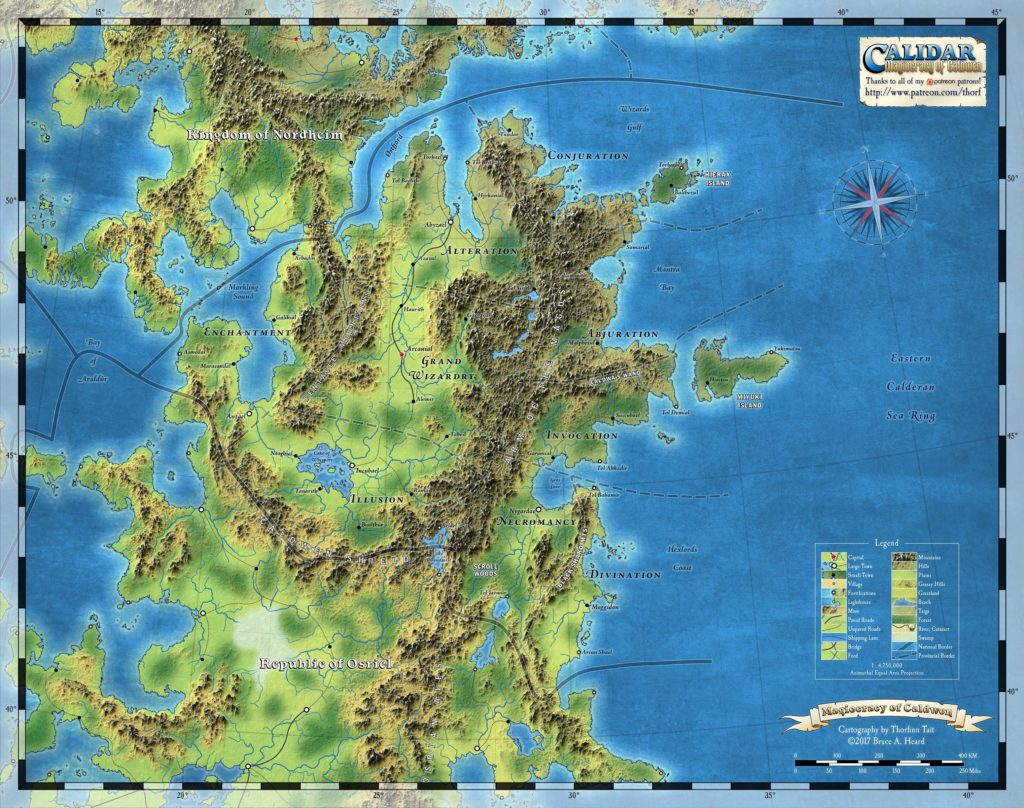
Next up: touring the fjords of Nordheim.
Update (28th January 2018)
I just finished making some major revisions to this map’s labels, tweaking all the positions while making the font size match all the other maps in the series. I also added names of neighbouring countries as well as their regions; added a stronger glow around the mountain names to make them more legible; and got rid of the map border, which was an experiment that hasn’t turned out quite how I wanted it to.
This map incorporates a vertical exaggeration effect into the terrain, which looks great but also displaces the terrain slightly. A plain top-down version of this map is available to all patrons over at my Patreon.
SaveSave
