In this series of posts, I’m going to work through all of Mystara’s overland maps, connecting them up and resolving problems. Also responding to feedback from the community and adjusting as necessary. The end result will be a coherent set of maps that fix the respective locations of all the land masses on Mystara, as well as locking in latitudes and longitudes, global dimensions, and the exact location and composition of the polar lips between the Outer and Hollow Worlds. This will enable the georeferencing of Mystara, which opens up lots of fun possibilities for future maps.
First let’s take stock of the known issues. Resolved issues will be struck off with links to relevant articles as we cover them.
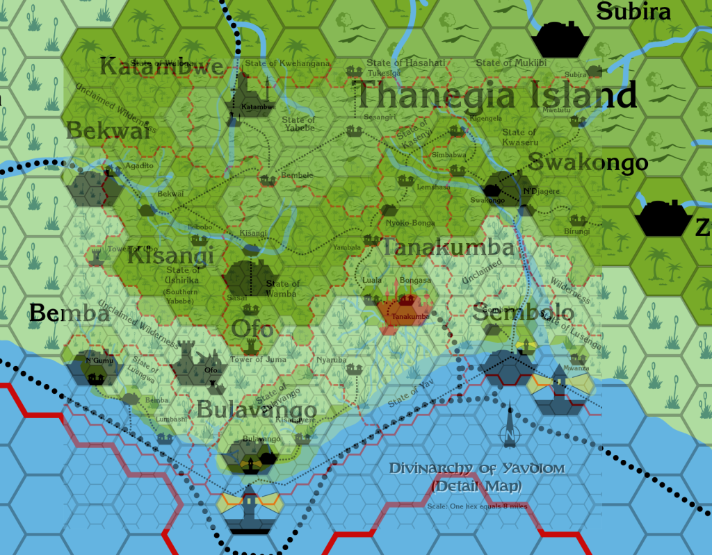
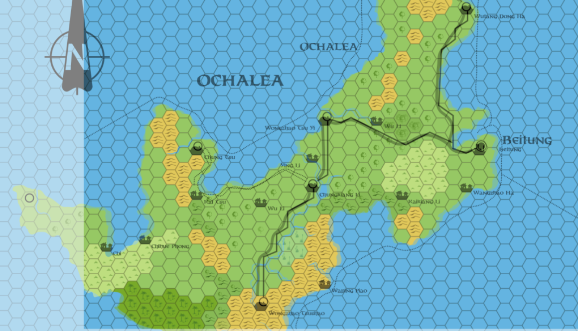
How 8 mile per hex maps interlock with 24 mile per hex maps:
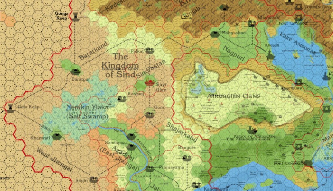
How 24 mile per hex maps interlock with each other:
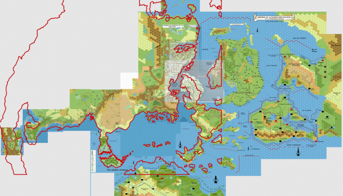
How 24 mile per hex maps interlock with 72 mile per hex maps:
How 72 mile per hex maps interlock with each other:
How the world map lines up with the hex maps (Lining Up Mystara XI, Lining Up Mystara XII, Lining Up Mystara XV, Lining Up Mystara XVI, Lining Up Mystara XVII, Lining Up Mystara XVIII)Latitudes (Lining Up Mystara IX, Lining Up Mystara X, Lining Up Mystara XIII, Lining Up Mystara XIV)
- Longitudes
Axial Tilt (Axial Tilt thread at The Piazza, Lining Up Mystara IX)- Polar Openings
Global dimensions (Lining Up Mystara XIII, Lining Up Mystara XIV, Lining Up Mystara XIX)Hollow World: (Lining Up Mystara XIII)
Did I leave anything out? Some of these are already resolved, or very nearly resolved. But I’d like to publicise my thinking behind each one, so I’ve included them all in the list. The only thing I’m really leaving out is how the 8 mile hex interlock with each other, which I think is mostly already resolved — the Known World by TM1 and TM2 trail maps; the Savage Coast by Red Steel’s poster maps.
Let me know if you can think of any other issues to add to this list.
3rd February 2016 Update
The list is slowly being whittled down, and the project is nearing completion. It’s been a very productive time, but the repercussions of all of these decisions will take a lot longer to process and incorporate into the maps.
In the midst of this project, I have launched a new site for the Atlas of Mystara project, which has taken up a lot of time. This, of course, is where the eventual results of this Lining Up Mystara project will be published.
I stated in various places that I would wind up this project by mid-February, and I think we’re on schedule to do that. I guess what I’m trying to say is that the fallout from all of these articles is likely going to take a long time — many more months or years, in all likelihood — to deal with. I’ve already started doing this, but it’s beyond the scope of the present project, and I need to concentrate my attention on that for now.
To put it more succinctly: this project deals with the major issues of Mystaran cartography, but the nitty gritty details will remain, to be dealt with after this project is finished.


