
Naga River’s Disappearing Act
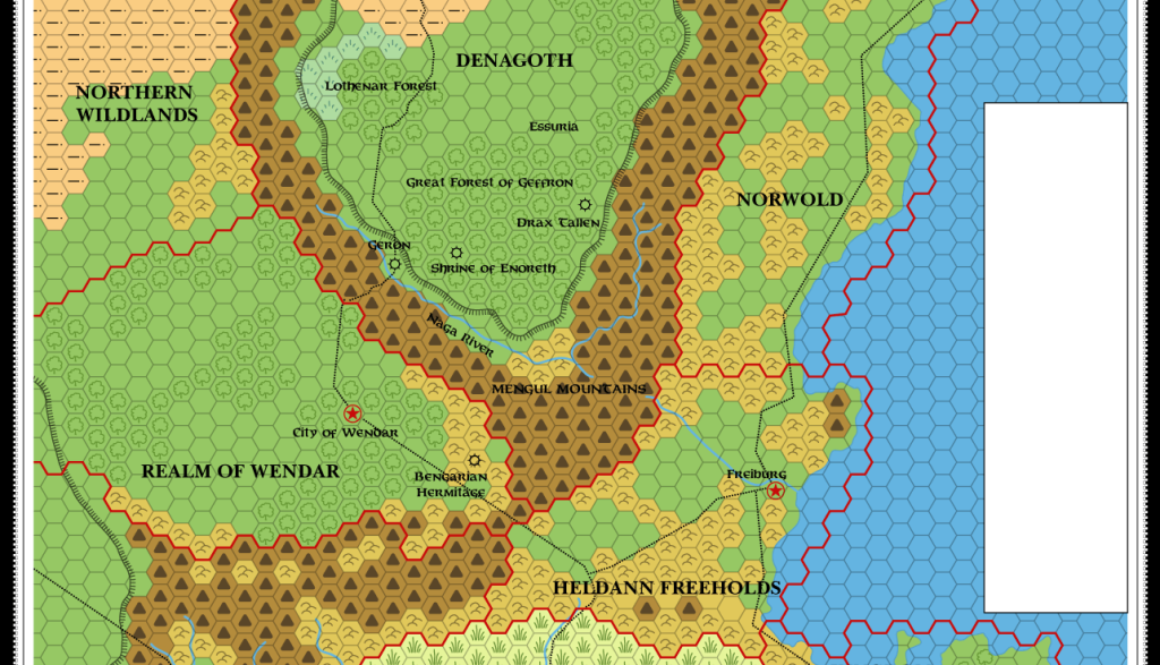
The Naga River, flowing down from the north, past the foot of Denagoth’s plateau, through Heldann and out into the Western Sea of Dawn, is an interesting conundrum. Why? Because a 50 mile segment of it is often missed out, just before it enters Heldann.
So how did this strange situation come about?
The answer lies in X11’s original 24 mile per hex map of the area:
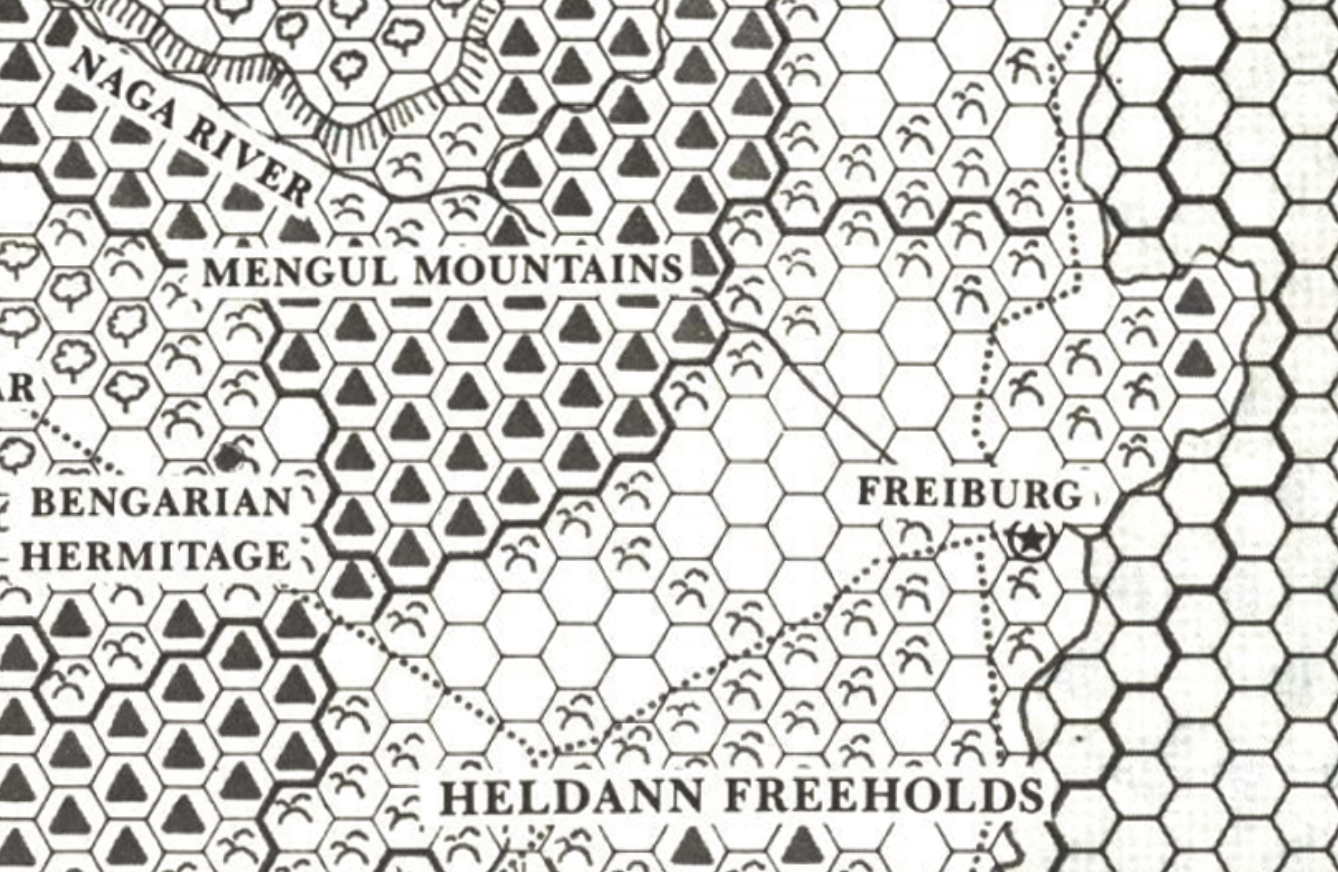
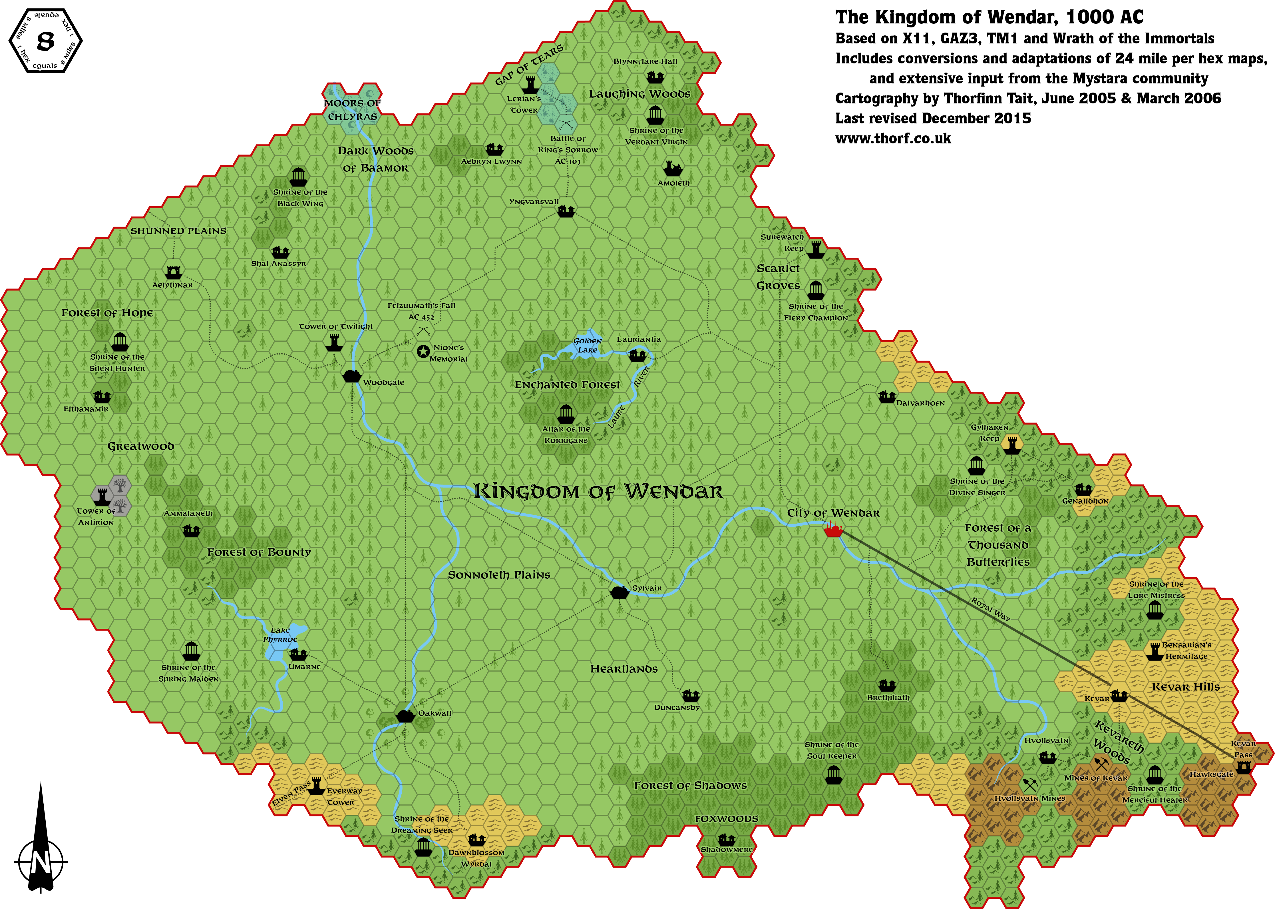
Wendar, 8 miles per hex
Way back in 2006, I made this map with contributions from the Mystara community at the then-Wizards of the Coast Mystara Message Board. (Which has since been closed down.)
I had to refer to it while working on Heldann, so here is an updated version incorporating my latest art. I’ve also changed the border with Heldann slightly, so that it’s defined by the Kevar Pass.
I’m going to revisit this map at some point, as I’ve never been completely satisfied with it.
Update 26th December 2021: Wendar now has a finished updated map at the Atlas of Mystara, including surrounding lands.
