Atlas of Mystara

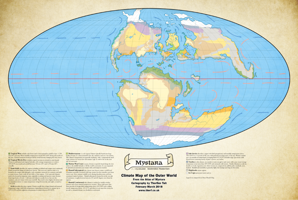
Mystara Climate Maps II
My Lining Up Mystara Revisited project is proceeding apace. I’m still working on the next post, but in the meantime I want to show you some of my progress, and ask for some feedback.
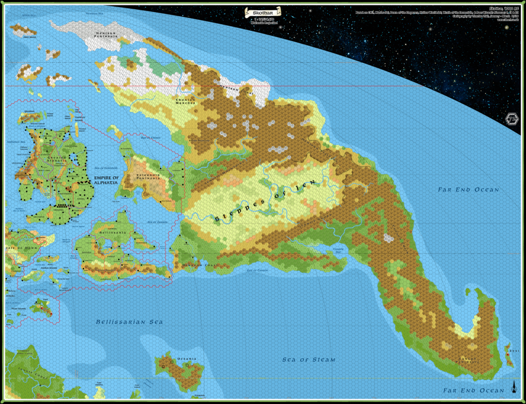
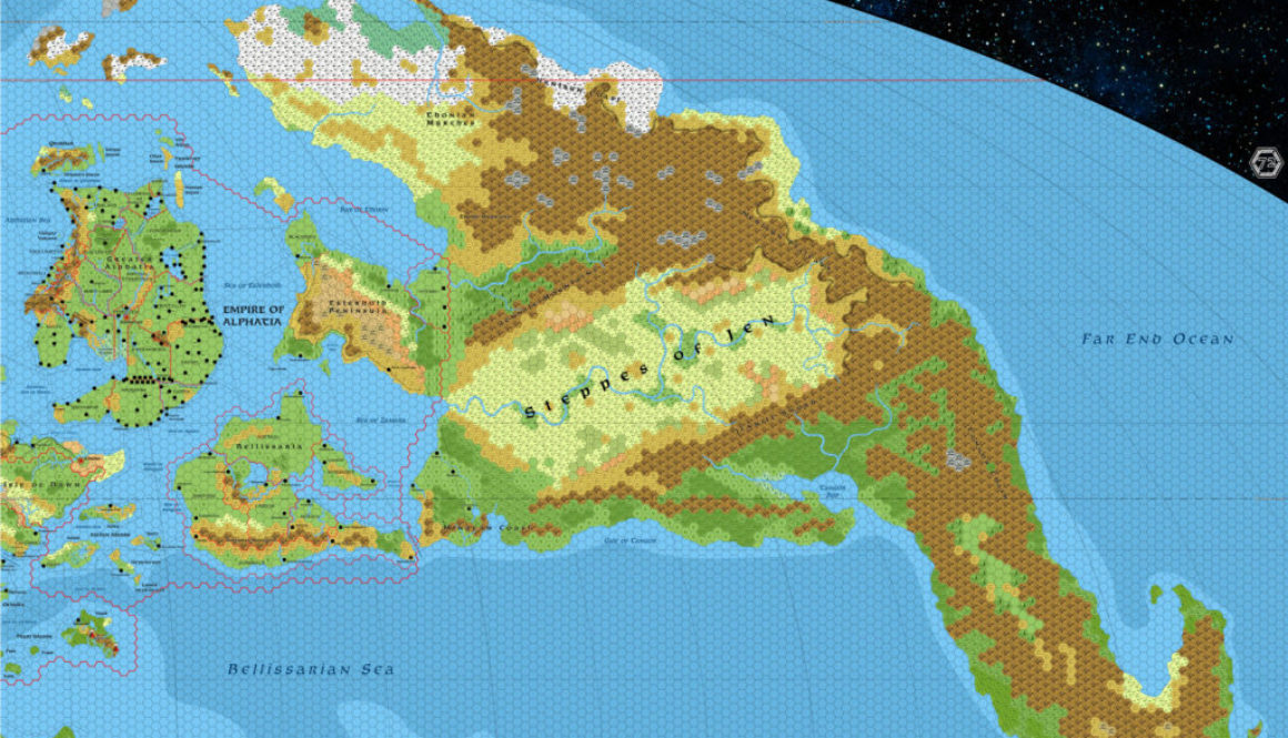
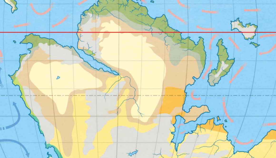
Work is continuing on continental hex maps for Davania, Skothar, and Brun, as well as the Hollow World. So I think that it’s about time we revisited the climate map and finished it off.
So here it is: the first (almost) complete version, in all its chaotic glory.

Lining Up Mystara Revisited IV
It’s time to solve the problems I brought up in my second article, and then move forward with Solution 1 from last time.
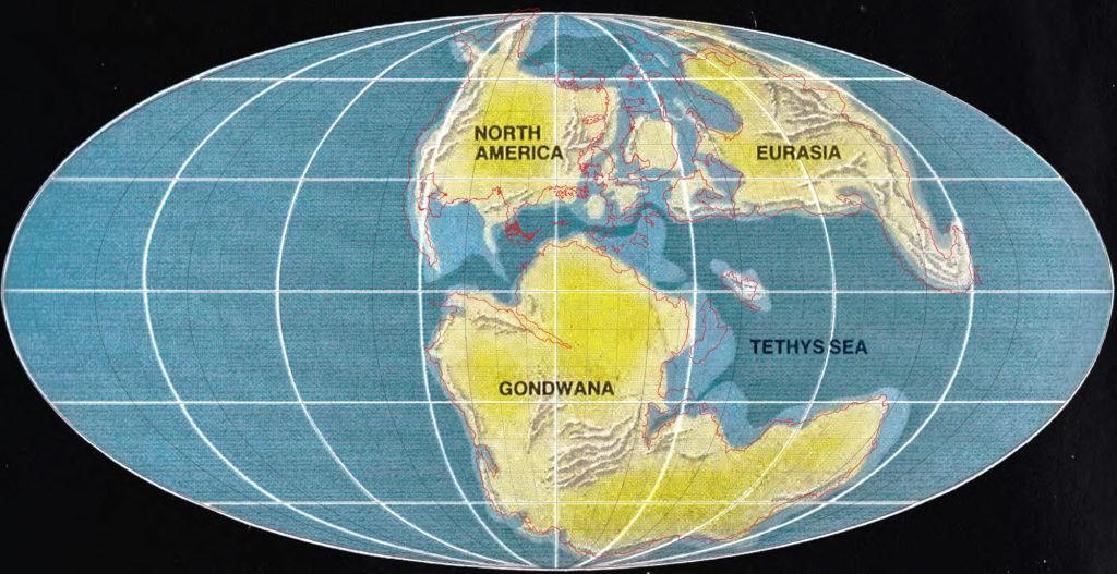
Lining Up Mystara with Jurassic Earth
After some discussion in the Mystara Cartographic Society on Facebook, I decided to keep my 2016 model’s hex map-based coastlines. The match with the Jurassic Earth map is really not tight enough to warrant changes. (Click here for the Facebook post if it is not appearing embedded below.)
At the same time, the consensus was that the 2.2º rotation of Brun to match CM1’s map with the Master Set outlines is a step too far, making life difficult for cartographers for minimal gain in accuracy.
To sum up:
- Coastlines derive from the Master Set map, except
- where there are official hex maps showing
- more precise relative locations
- more detail
- Brun, which is instead taken from CM1, rotation and all
- where there are official hex maps showing
- Placement is based on a best fit with the Jurassic Earth map
- It’s far from exact, but the Master Set map doesn’t fit much better
- Brun’s location slightly further north than on the Master Set map is not fixable without shifting or rescaling the Isle of Dawn
Here’s the final overlay that I’ve come up with:
